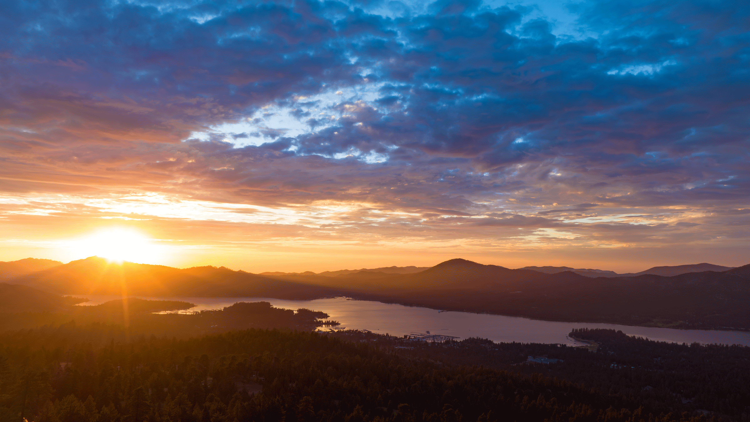


Mountain Biking Trails Overview
What to Expect on the Dirt


![]()
![]()
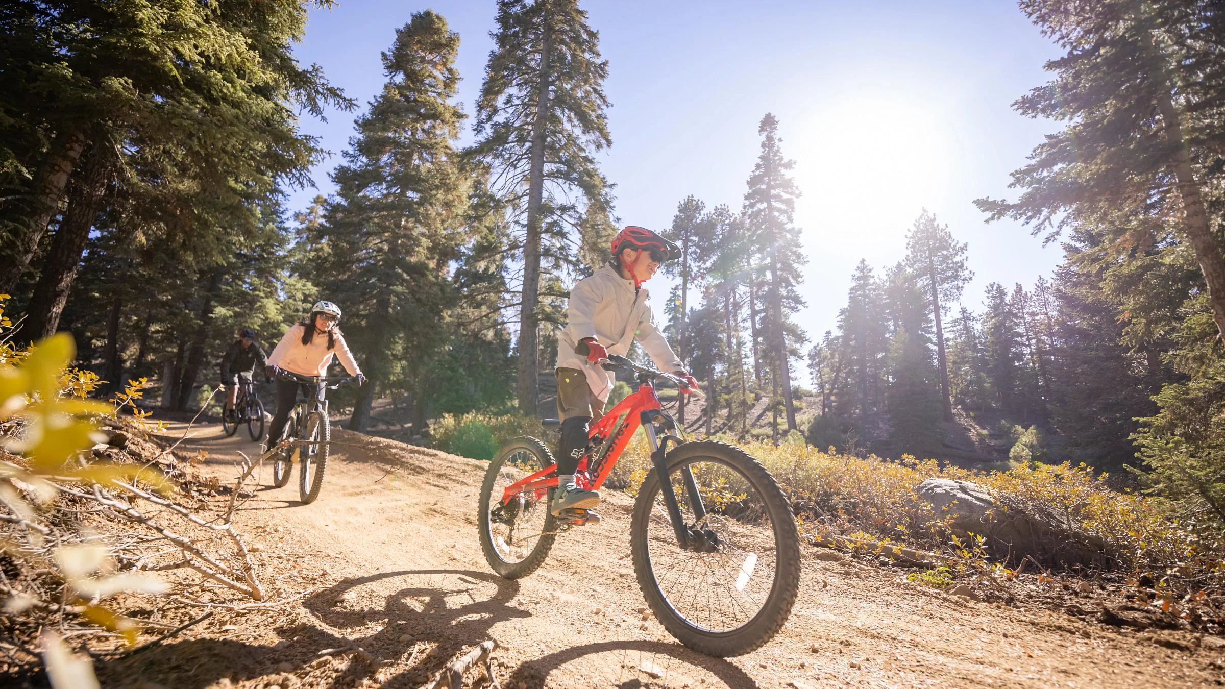
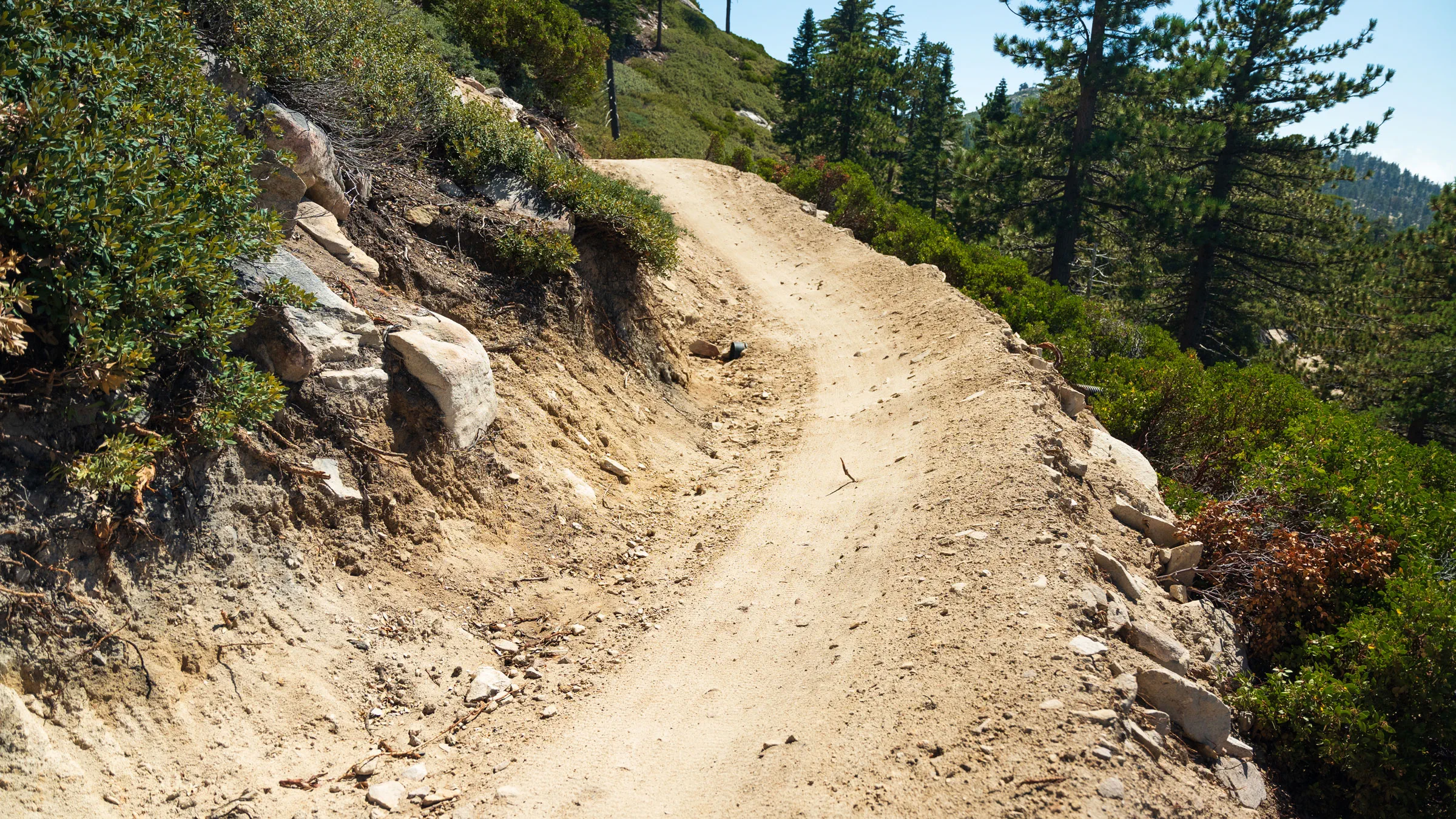
Snow Valley and Snow Summit Bike Parks are Southern California's best lift-served downhill trails and cross-country riding. Both locations offer a range of downhill mountain biking trails with Snow Summit's backside supporting miles of cross-country trails. Please note: Cross-country trails are not owned or operated by Big Bear Mountain Resort.
SoCal's Best Lift-Served Bike Parks
23 Downhill Runs, Plus Miles of Cross-Country Trails
 rich-text, responsive-table
The Bike Parks operate during the summer months when the snow has melted, making it a popular destination for mountain biking enthusiasts. Here are some key features and details about the Bike Parks:
Trail Variety: A diverse selection of trails catering to riders of various skill levels, from beginners to advanced riders. These trails can include downhill-focused routes, flow trails with berms and jumps, technical trails with challenging features, and cross-country trails for those who prefer longer rides and varied terrain.
Terrain and Features: The trails are designed to incorporate a mix of natural and man-made features to provide an exciting and challenging riding experience. This can include jumps, drops, rock gardens, wooden features, and more.
Scenic Views: Situated in the San Bernardino Mountains, riders can often enjoy beautiful scenic views while descending or riding through the trails.
Seasonal Operation: Both Bike Parks operate during the summer months (typically May/June through October), opening after the snow has melted and the ski season has ended. It's important to check the hours of operations page for the most up-to-date information about operating hours, trail conditions, and any changes in schedule. rich-text, responsive-table
-
11 Downhill Trails
Summit Bike Park is located in Big Bear Lake, California. The bike park has over 10 miles of downhill trails that offer unique features and layouts for riders of all ability levels, from first-time riders to experts.
 NOTE: Class 1 eBikes are allowed on all downhill trails at Summit Bike Park.
rich-text, responsive-table
NOTE: Class 1 eBikes are allowed on all downhill trails at Summit Bike Park.
rich-text, responsive-table
 rich-text, responsive-table
Going Green
rich-text, responsive-table
Going Green Beginner
Top-to-bottom trail with scenic views of Big Bear Lake and nearly 4 miles of downhill rollers and intro features designed for beginners. rich-text, responsive-tableaccordion, accordion-placeholderTrail Details & Statistics
Rating: Beginner
Type: Easy Wide Excavated Trail
Tread Width: 36”-72”
Tread Surface: Firm packed dirt
Grade: 5% average, 10% max
Natural Obstacles: Loose & embedded rocks
Technical Features: Sweeping curves, long straightaways
Distance Descent Avg. Time Altitude Start Altitude End Altitude Change Grade 3.4 miles -1,277 ft 12 minutes 8,181 ft 7,190 ft -991 ft -5.51% 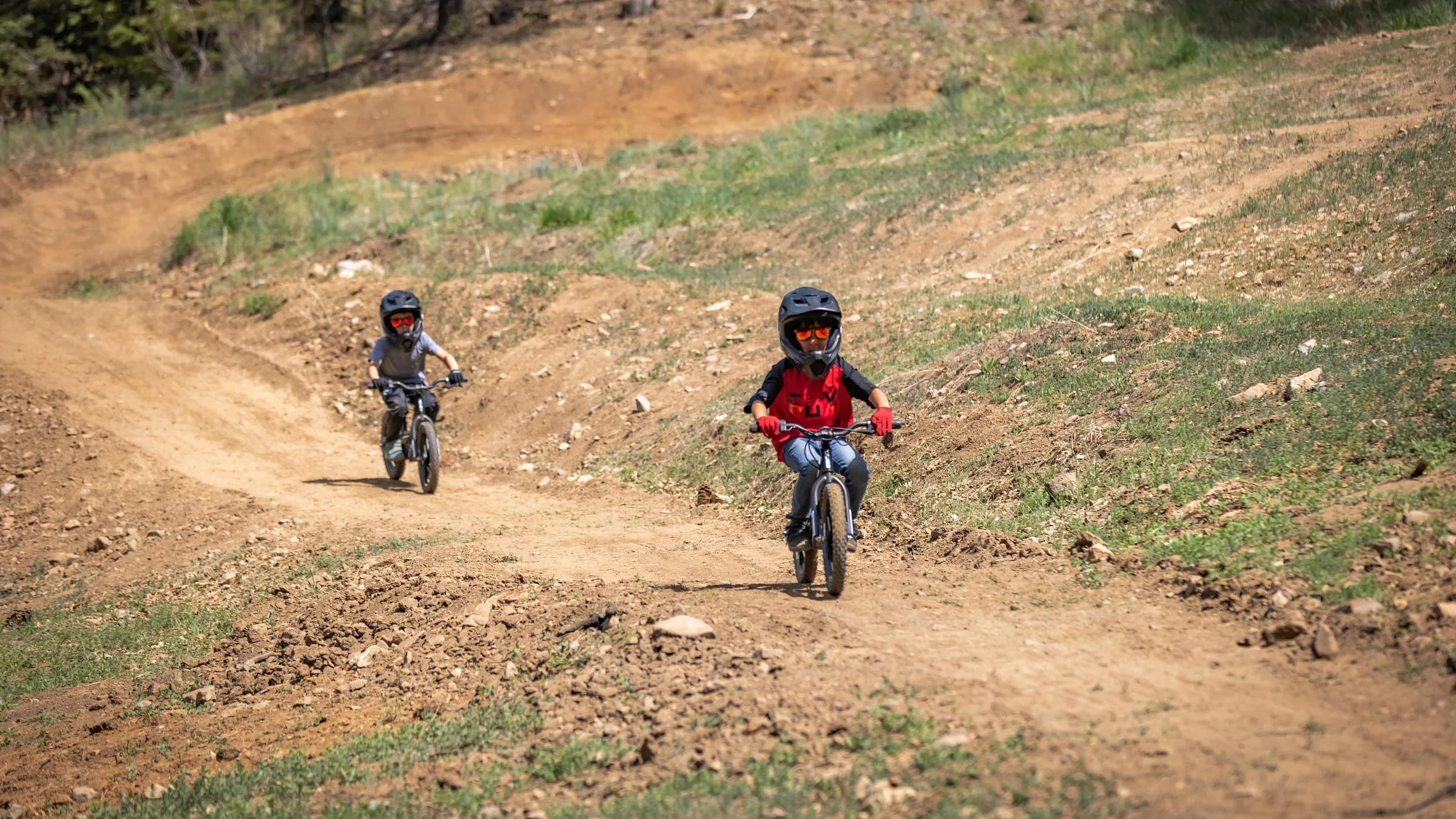 rich-text, responsive-table
Small Wonder
rich-text, responsive-table
Small Wonder Beginner
Perfect for beginners and first-time visitors, featuring smooth turns and flat, flowy angles. rich-text, responsive-tableaccordion, accordion-placeholderTrail Details & Statistics
Rating: Beginner
Type: Easy Wide Excavated Trail
Tread Width: 3 ft
Tread Surface: Firm & stable with dirt & paver berms
Grade: 3% average, 12% max
Natural Obstacles: Loose & embedded rocks
Technical Features: Dirt & paver berms, manmade rock garden (2” & under height), small wood bridge
Distance Descent Avg. Time Altitude Start Altitude End Altitude Change Grade 2,620 ft -151 ft 3 minutes 7,102 ft 6,975 ft -127 ft -4.83% [No Associated Data Item]rich-text, responsive-table[No Associated Data Item]rich-text, responsive-table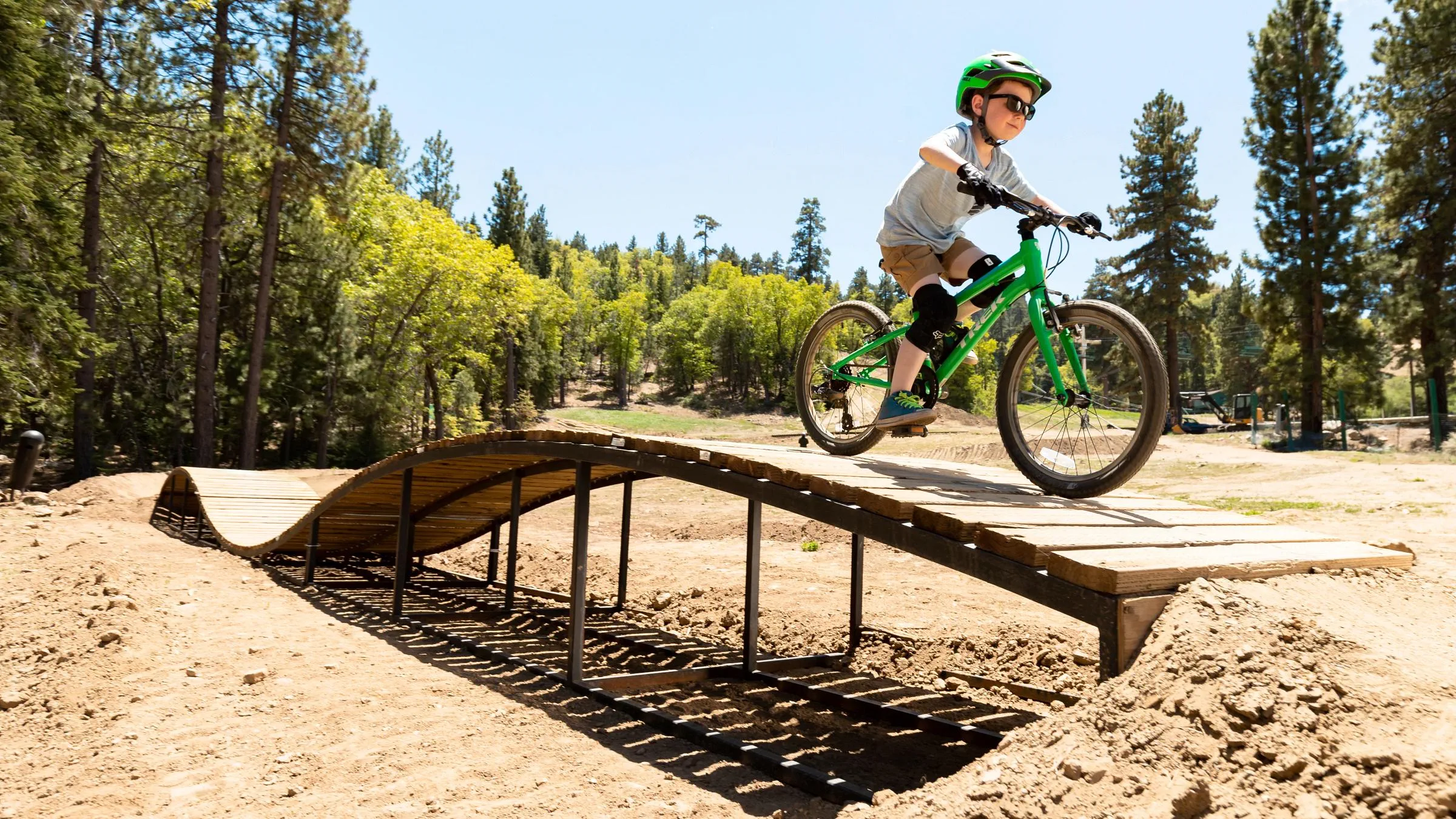 rich-text, responsive-table
Skill Builder Park
rich-text, responsive-table
Skill Builder Park
Beginner
The perfect place to refine your riding skills, featuring slightly bigger berms, small jumps, and wood features. rich-text, responsive-tableaccordion, accordion-placeholderTrail Details & Statistics
Rating: Beginner
Type: Low-level jump line & Skill Builder Park (Lift Access)
Tread Width: 2-8 ft
Tread Surface: Firm packed dirt with a variety of jumps, berms & wood features (incl. skinnies)
Grade: 5% average, 10% max
Natural Obstacles: Loose & embedded rocks
Technical Features: Dirt & paver berms, ladder drops (avg. 12” height), small rollers, table top jumps (5’-10’ length)
Distance Descent Avg. Time Altitude Start Altitude End Altitude Change Grade 1,654 ft -152 ft 4 minutes 7,137 ft 6,991 ft -147 ft -8.87% 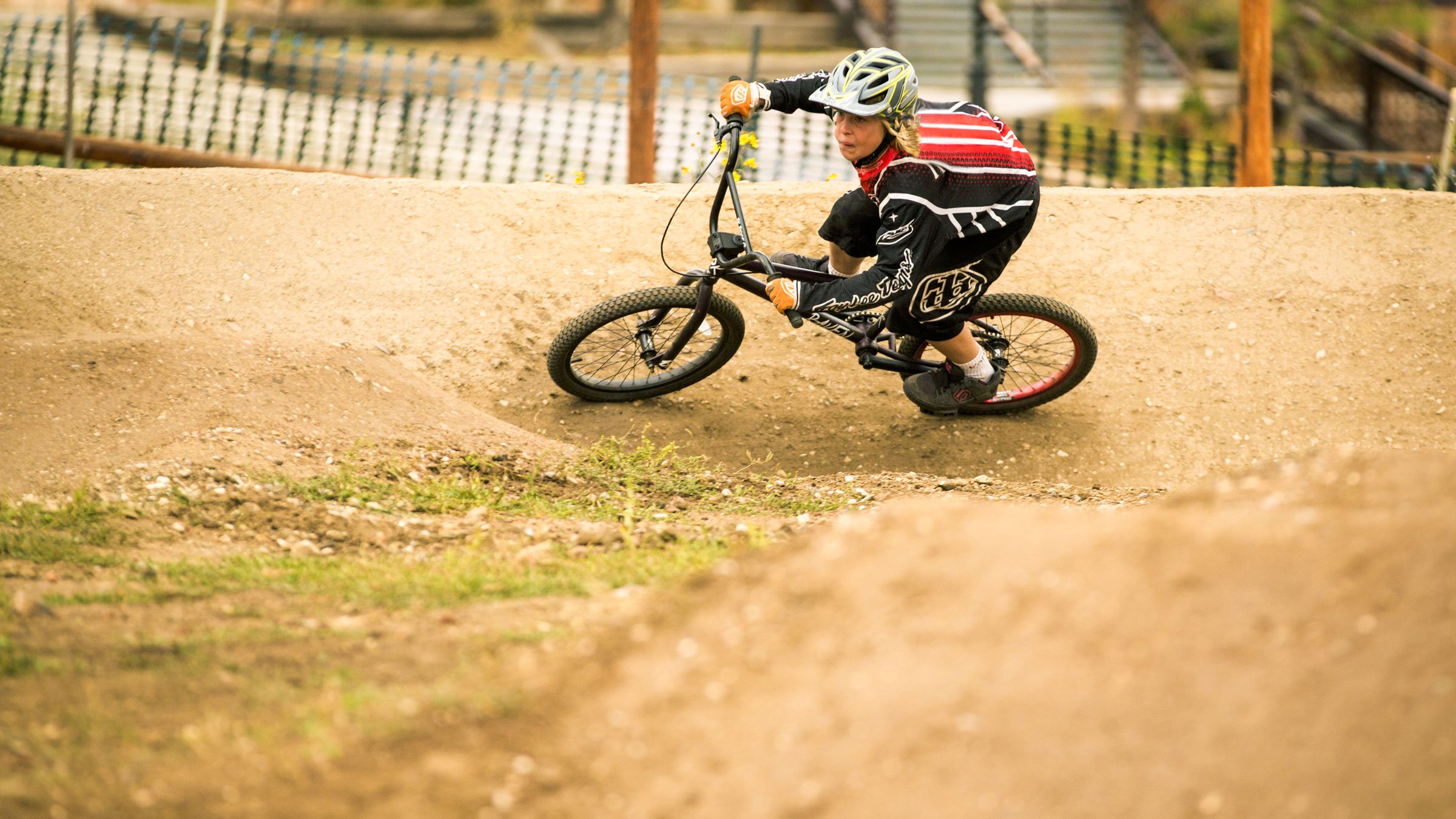 rich-text, responsive-table
Average Joe's
rich-text, responsive-table
Average Joe's Intermediate
A progression-based trail that's the perfect introduction to a layout of small jumps to help riders dial in skills. rich-text, responsive-tableaccordion, accordion-placeholderTrail Details & Statistics
Rating: Intermediate
Type: Low-level jump line/introduction to a jump line
Tread Width: 6 ft
Tread Surface: Firm packed dirt with a variety of jumps, berms.
Grade: Blue
Natural Obstacles: N/A
Technical Features: Small jumps
Distance Descent Avg. Time Altitude Start Altitude End Altitude Change Grade 0.24 feet -63.1 ft 1:09 minutes 7,096 ft 7,015 ft -81 ft 0-6% 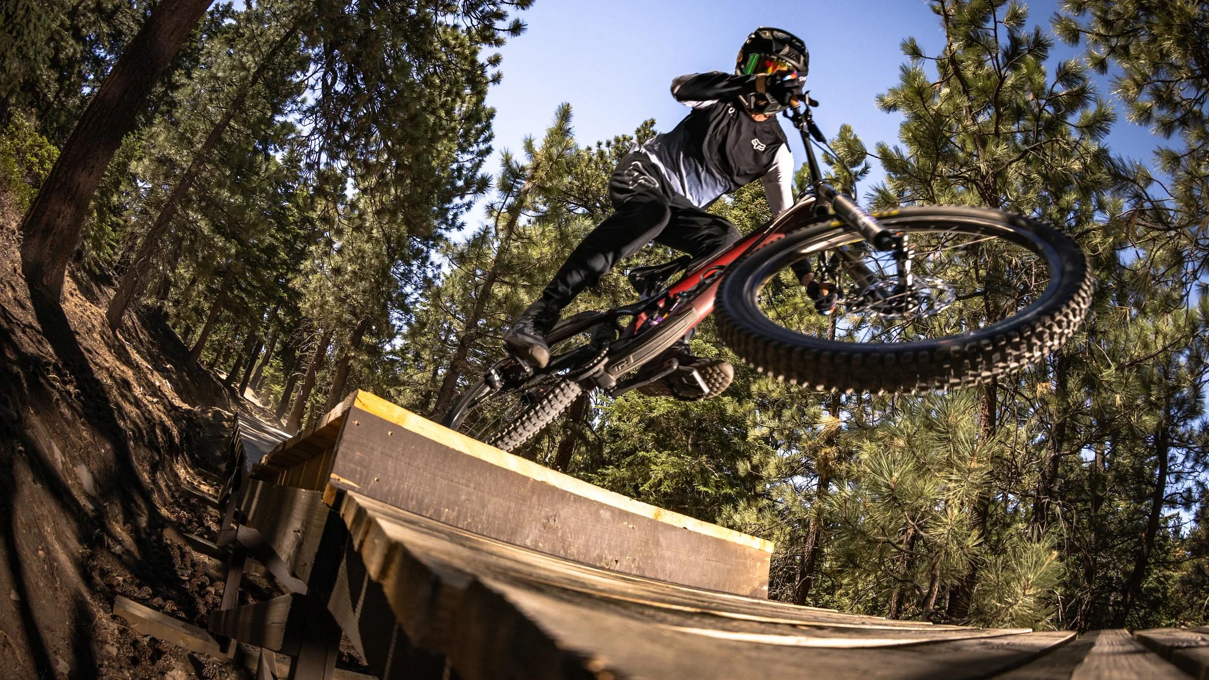 rich-text, responsive-table
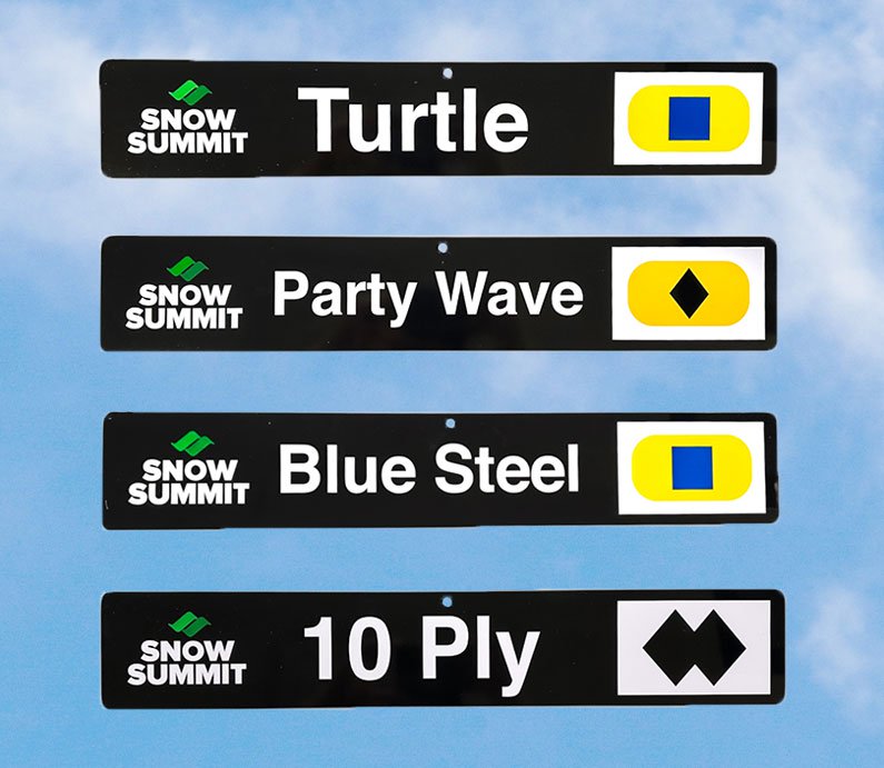
Blue Steel Intermediate
rich-text, responsive-table
Blue Steel Intermediate
Fun and flowy trail featuring medium-sized berms and jumps. Perfect to intermediate and advanced riders. rich-text, responsive-tableaccordion, accordion-placeholderTrail Details & Statistics
Rating: Intermediate
Type: Blue Jump Trail
Tread Width: 6 ft
Tread Surface: Loose dirt and sand
Grade: 8% average, N/A% max
Natural Obstacles: Rocks and roots
Technical Features: Machine built jumps
Distance Descent Avg. Time Altitude Start Altitude End Altitude Change Grade 1.3 miles -471 ft 3 minutes 8,034 ft 7,569 ft -467 ft -7.10% 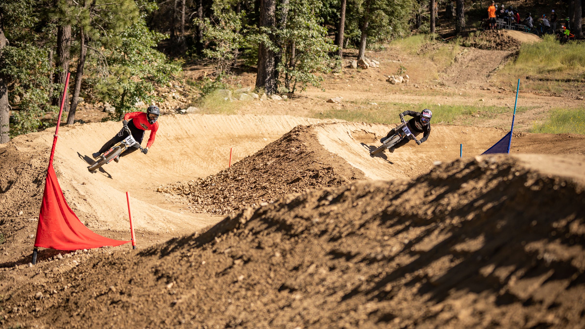 rich-text, responsive-table
Dual Slalom Intermediate
rich-text, responsive-table
Dual Slalom Intermediate
Fun and competitive course where two riders can ride head-to-head, side-by-side on two separate tracks. Consists of features like berms, jumps and rollers. rich-text, responsive-tableaccordion, accordion-placeholderTrail Details & Statistics
Rating: Intermediate
Type: Double track
Tread Width: 8-10 ft
Tread Surface: Hard pack dirt
Grade: Blue
Natural Obstacles: N/A
Technical Features: Dirt berms, small rollers
Distance Descent Avg. Time Altitude Start Altitude End Altitude Change Grade .18 miles -88.4 ft 1:29 minutes 7,078 ft 6,987 ft -91 ft 6-8% 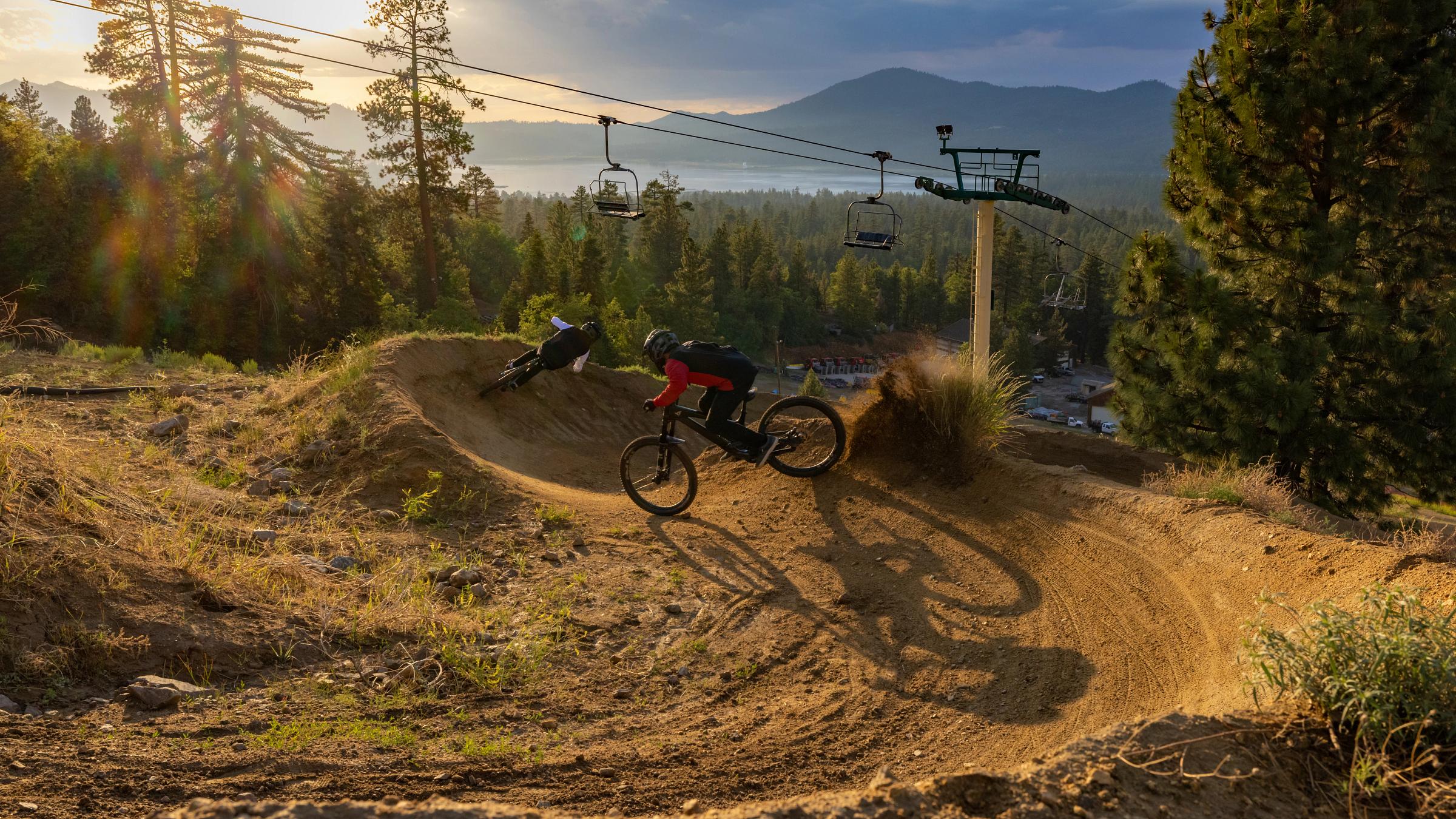 rich-text, responsive-table
Turtle Trail Intermediate
rich-text, responsive-table
Turtle Trail Intermediate
Top-to-bottom intermediate trail featuring big berms, flowy straightaways, and small jumps. rich-text, responsive-tableaccordion, accordion-placeholderTrail Details & Statistics
Rating: Intermediate
Type: Gravity Trail
Tread Width: 3-4 ft
Tread Surface: Widely variable with packed dirt, loose rocks, and dirt berms
Grade: 8% average, 100% max
Natural Obstacles: Avoidable and unavoidable loose and stable rocks and roots of various sizes
Technical Features: Long sweeping dirt and paver berms and rollers
Distance Descent Avg. Time Altitude Start Altitude End Altitude Change Grade 2.3 miles -1,082 ft 8 minutes 8,068 ft 7,036 ft -1,031 ft -8.61% 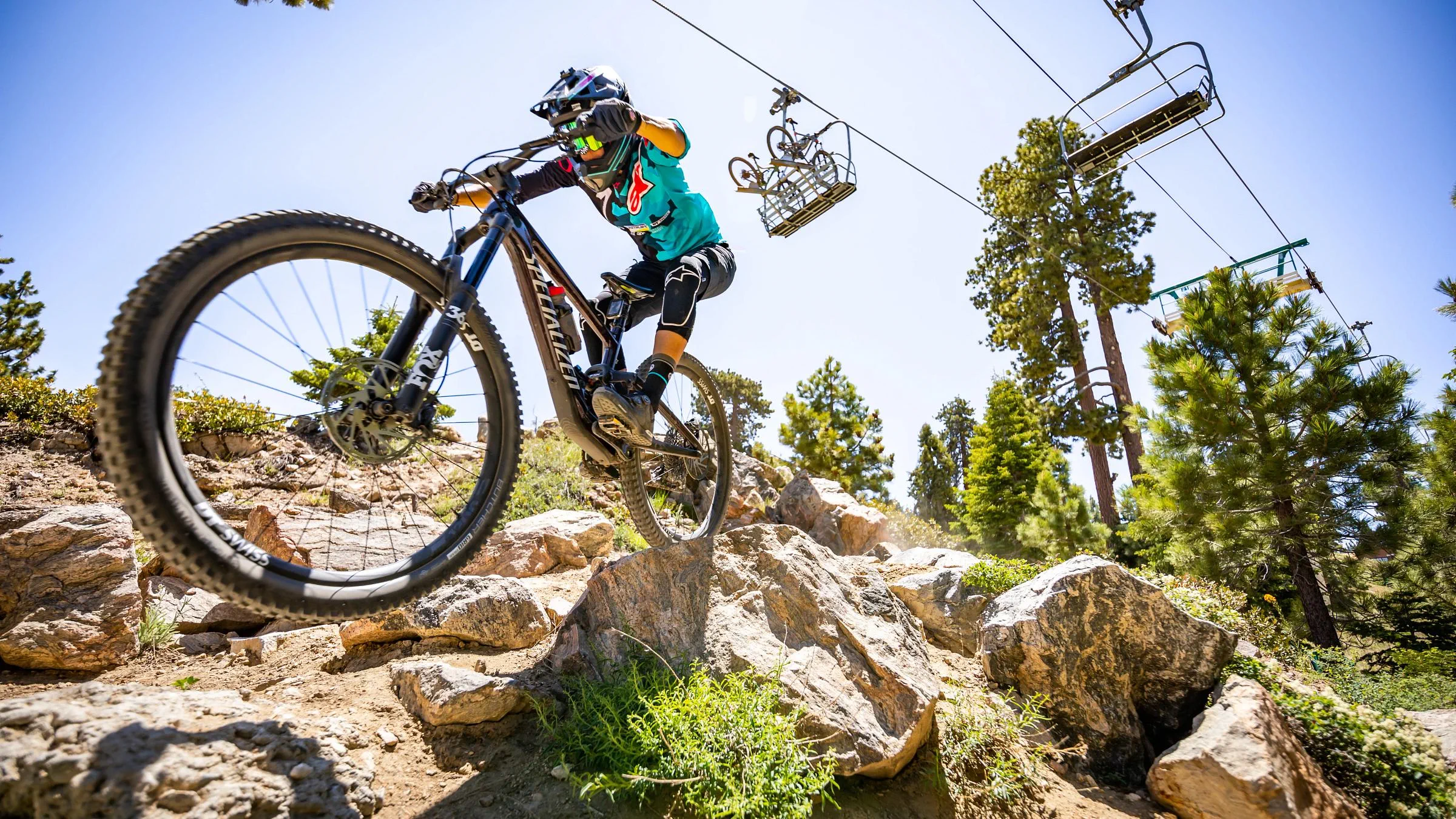 rich-text, responsive-table
Miracle Mile
rich-text, responsive-table
Miracle Mile Advanced
A favorite of downhill racers featuring classic lines, jumps, berms, rock gardens, and wood features with an old-school single-track feel. rich-text, responsive-tableaccordion, accordion-placeholderTrail Details & Statistics
Rating: Advanced
Type: Downhill with features
Tread Width: 2-3 ft
Tread Surface: Variable with packed dirt, loose rocks, paver berms, rock armor, wood features
Grade: 12% average, 100% max
Natural Obstacles: Unavoidable rocks (loose & stable), roots (less than 15”), break bumps in high speed areas; Note: Avoidable obstacles and rocks may be present
Technical Features: Dirt & paver berms, wood bridges (+24” wide), table top features (10’-30’ length), wall ride (less than 15’). Note: All features can be ridden over or around without catching air
Distance Descent Avg. Time Altitude Start Altitude End Altitude Change Grade 1.6 miles -1,043 ft 6 minutes 8,115 ft 7,070 ft -1,045 ft -12.30% 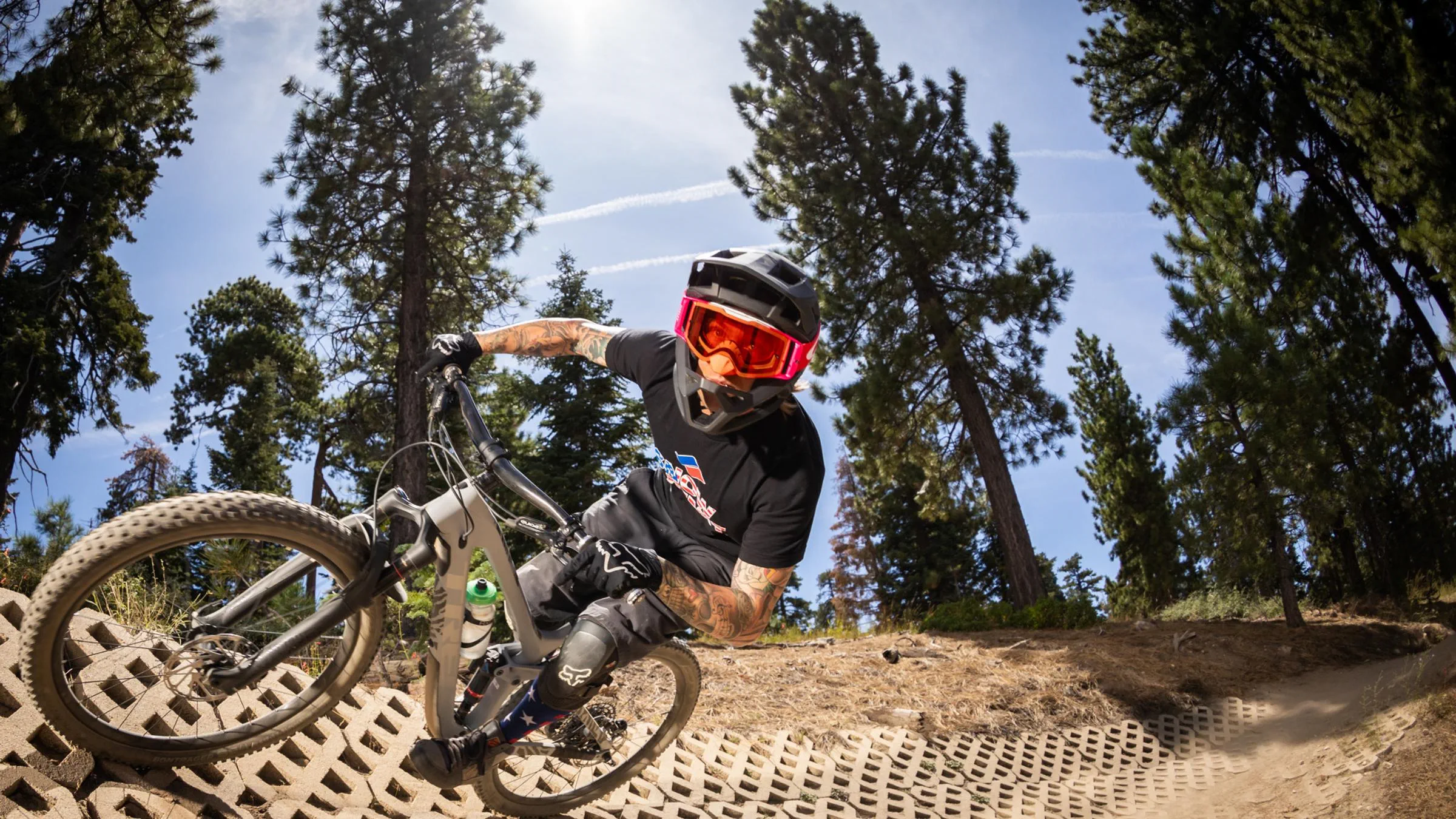 rich-text, responsive-table
Party Wave Advanced
rich-text, responsive-table
Party Wave Advanced
High-speed downhill trail with great flow. Features include: ripping berms, rough rock gardens, and 30’ step-up. Merge with Miracle Mile for a challenging technical downhill experience. rich-text, responsive-tableaccordion, accordion-placeholderTrail Details & Statistics
Rating: Advanced
Type: Downhill & flow combo with advanced features
Tread Width: 3 ft
Tread Surface: Variable with packed dirt, loose rocks, paver berms, rock armor, wood features
Grade: 10% average, 100% max
Natural Obstacles: Unavoidable rocks & roots (less than 15”) Note: Avoidable obstacles, rocks & alternative routes may be present
Technical Features: Dirt & paver berms, manmade rock gardens, rock drops, wood platform areas (+24” wide & +24” height), ladder drop (36” & under height), table top features (10’-30’ length; 10’ height), rollers (48” height), step-up (30’ & under length); Note: All features can be ridden over or around without catching air
Distance Descent Avg. Time Altitude Start Altitude End Altitude Change Grade 1.1 miles -573 ft 4 minutes 8,059 ft 7,548 ft -510 ft -8.77% 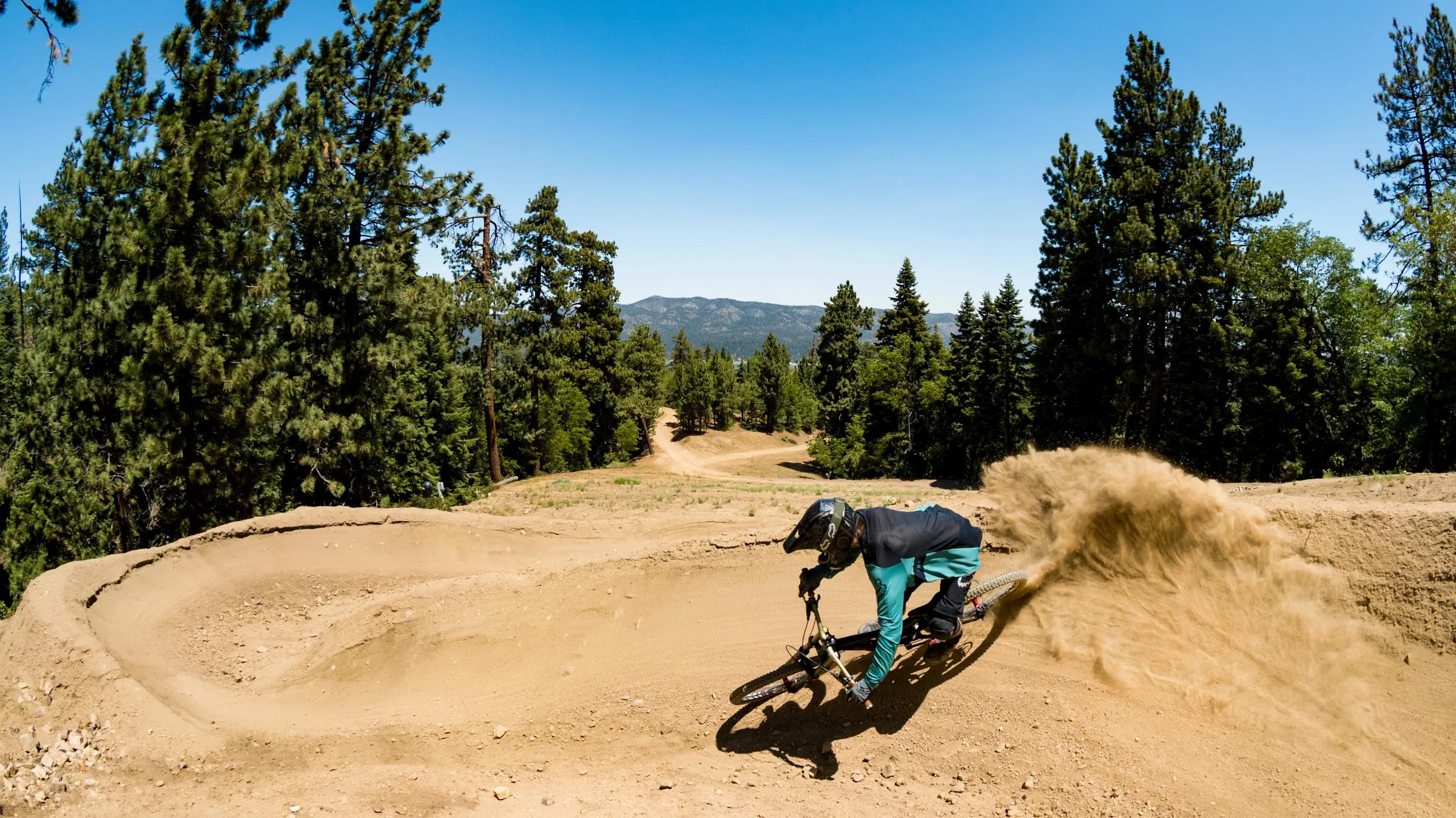 rich-text, responsive-table
Westridge Advanced
rich-text, responsive-table
Westridge Advanced
Our flagship jump line for advanced riders featuring fast berms, larger jumps, and 45 features. A must-ride for any advanced mountain bike rider. Just remember to always look before you leap. rich-text, responsive-tableaccordion, accordion-placeholderTrail Details & Statistics
Rating: Advanced
Type: Jump trail with flow
Tread Width: 3 ft
Tread Surface: Variable with packed dirt, some loose rocks, paver berms, wood features
Grade: 11% average, 100% max
Natural Obstacles: Unavoidable rocks (loose & stable) & root obstacles, break bumps in high speed areas; Note: Avoidable obstacles & rocks may be present
Technical Features: Dirt & paver berms, wood bridges (+36” wide, 3’ height bridge has hand rails), table top features (10’-30’ length), wall ride features (less than 15’ height); Note: All features can be ridden over or around without catching air
Distance Descent Avg. Time Altitude Start Altitude End Altitude Change Grade 1.5 miles -607 ft 6 minutes 7,662 ft 7,054 ft -607 ft -7.50% 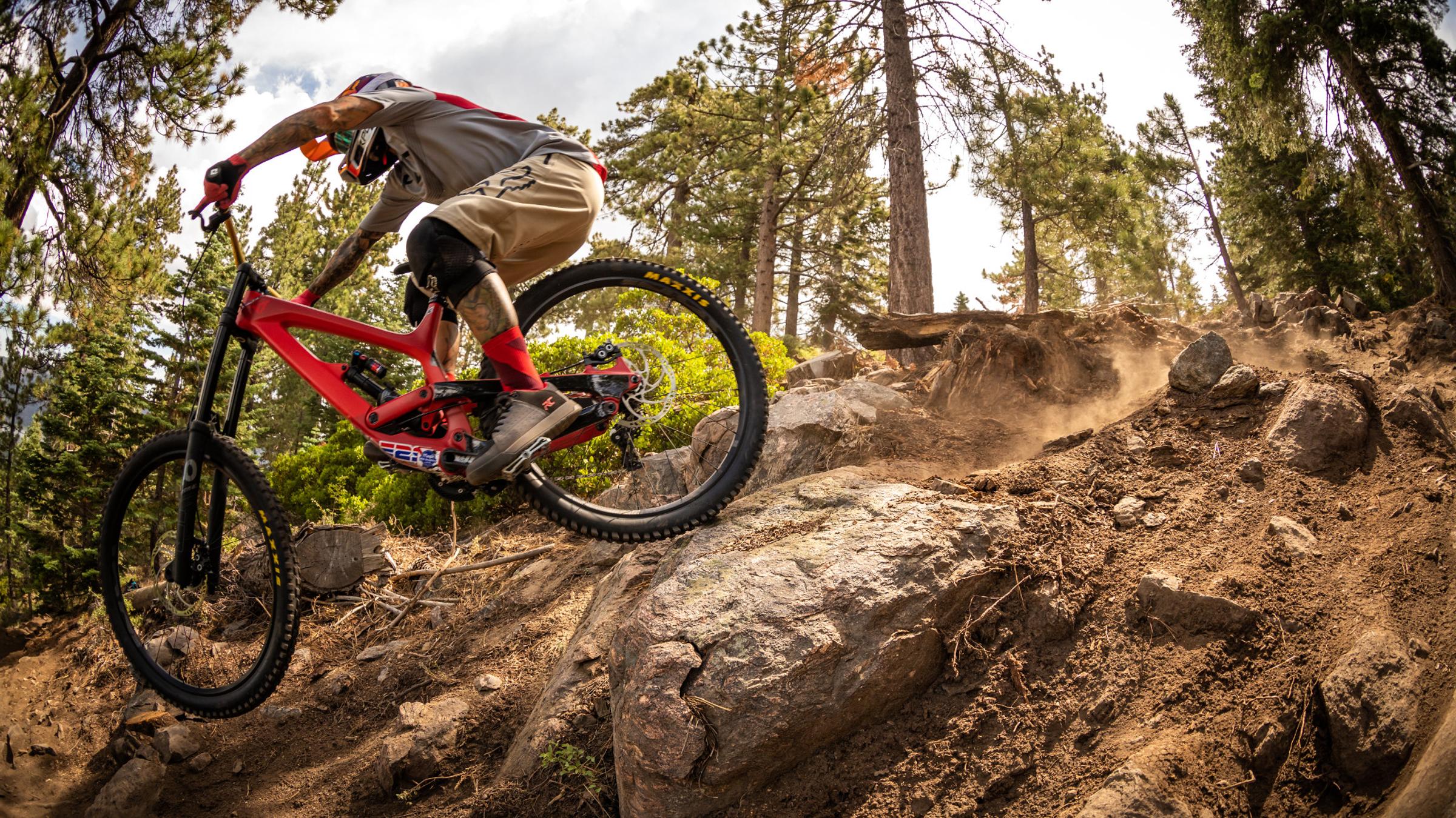 rich-text, responsive-table
10-ply
rich-text, responsive-table
10-ply Expert
Our most difficult downhill trail offers a mix of old-school design with modern-day features, including the biggest jumps, roughest rock gardens, and steepest shoots. For expert riders only. rich-text, responsive-tableaccordion, accordion-placeholderTrail Details & Statistics
Rating: Expert
Type: Double black diamond technical trail
Tread Width: 3 ft
Tread Surface: Loose rocks, sand and roots
Grade: 15% average, N/A% max
Natural Obstacles: Rocks, sand, roots and trees
Technical Features: Very technical trail with rock gardens, drops, and jumps
Distance Descent Avg. Time Altitude Start Altitude End Altitude Change Grade 1.2 miles -1,016 ft 8 minutes 8,132 ft 7,115 ft -1,016 ft -16.43% -
10 Downhill Trails
Snow Valley Park is located in Running Springs, California. The bike park has over 8 miles of downhill trails that offer unique features and layouts for riders of all ability levels, from first-time riders to experts.
NOTE: Class 1 eBikes are allowed on all downhill trails at Snow Valley Bike Park.
rich-text, responsive-table
 rich-text, responsive-table
Upper Green Horn Beginner
rich-text, responsive-table
Upper Green Horn Beginner
With a mellow descent and plenty of progression along the way, this trail is perfect for practicing speed control, braking, and turning with a few side jumps for fun. rich-text, responsive-tableaccordion, accordion-placeholderTrail Details & Statistics
Rating: Beginner
Type: Singletrack
Tread Width: 6 ft
Tread Surface: Decomposed granite
Grade: -6.8% average, N/A% max
Natural Obstacles: Loose rocks and sand
Technical Features: Pedal path, flat
Distance Descent Avg. Time Altitude Start Altitude End Altitude Change Grade 1.2 miles -433 ft 3 minutes 7,576 ft 7,159 ft -416 ft -7.30% .jpg?h=auto&w=100%&rev=48b9442dcb3a4c599663143e7a152f07&hash=E1AB11CA5397E8366AD84ED8832248EA) rich-text, responsive-table
Lower Green Horn Beginner
rich-text, responsive-table
Lower Green Horn Beginner
This lower section of Green Horn is a slightly less technical trail that follows the contour of the ridge, featuring some rock sections and a rustic bridge crossing over a small gully before arriving a the bottom of the hill. rich-text, responsive-tableaccordion, accordion-placeholderTrail Details & Statistics
Rating: Beginner
Type: Singletrack
Tread Width: 6 ft
Tread Surface: Decomposed granite
Grade: -6.8% average, N/A% max
Natural Obstacles: Loose rocks and sand
Technical Features: Pedal path, flat
Distance Descent Avg. Time Altitude Start Altitude End Altitude Change Grade 0.8 miles -293 ft 2 minutes 7,073 ft 6,781 ft -293 ft -11.20% 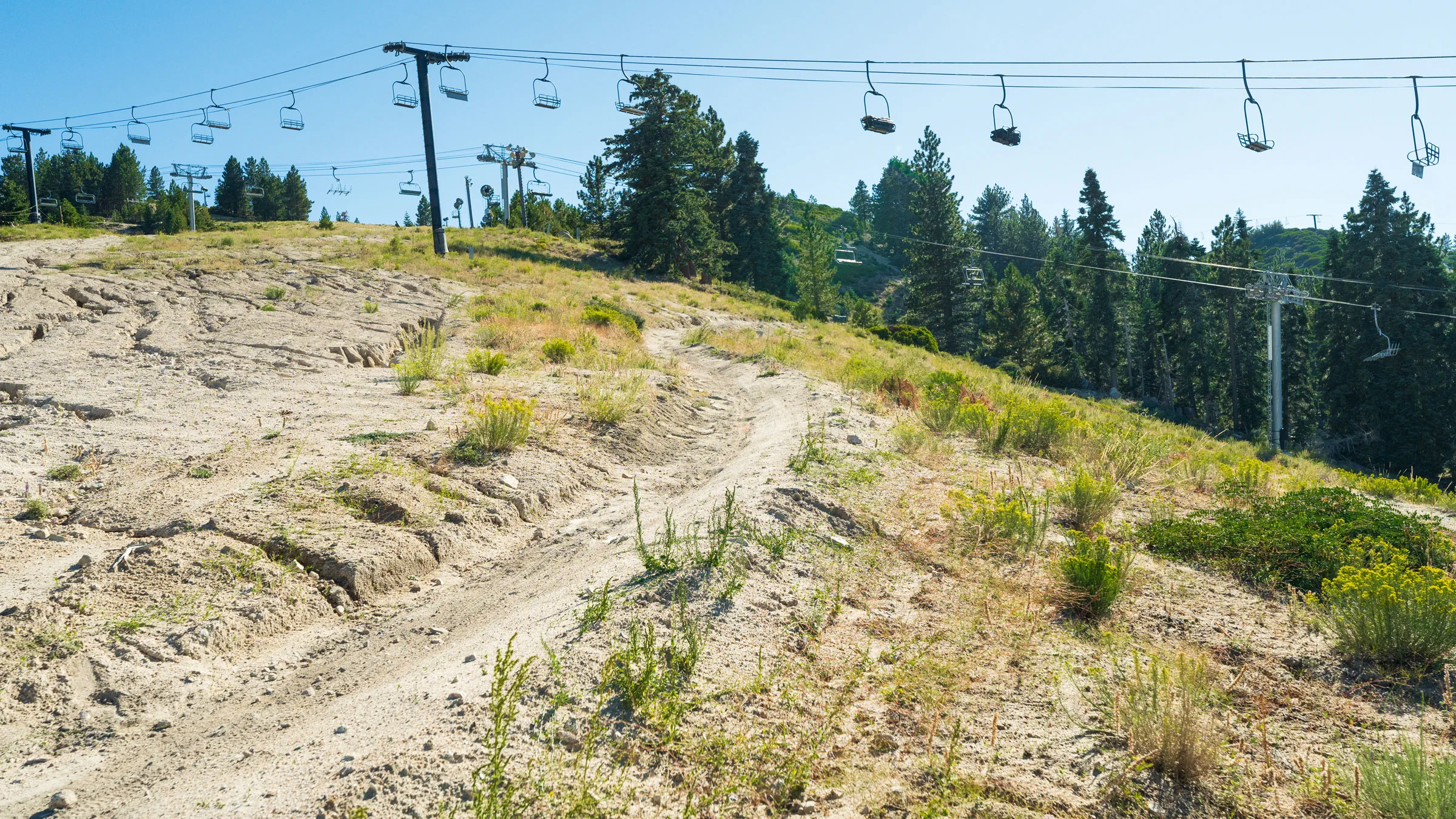 rich-text, responsive-table
Sundance Beginner
rich-text, responsive-table
Sundance Beginner
A picturesque intermediate downhill trail featuring berms, small jumps, and amazing views. Riders should expect some braking bumps and loose rocks/dirt. rich-text, responsive-tableaccordion, accordion-placeholderTrail Details & Statistics
Rating: Intermediate
Type: Singletrack
Tread Width: 5 ft
Tread Surface: Decomposed granite
Grade: -8.9% average, N/A% max
Natural Obstacles: Loose rocks and sand
Technical Features: A few jumps and tabletops on lower section
Distance Descent Avg. Time Altitude Start Altitude End Altitude Change Grade 0.9 miles -435 ft 5 minutes 7,174 ft 6,746 ft -435 ft -9% 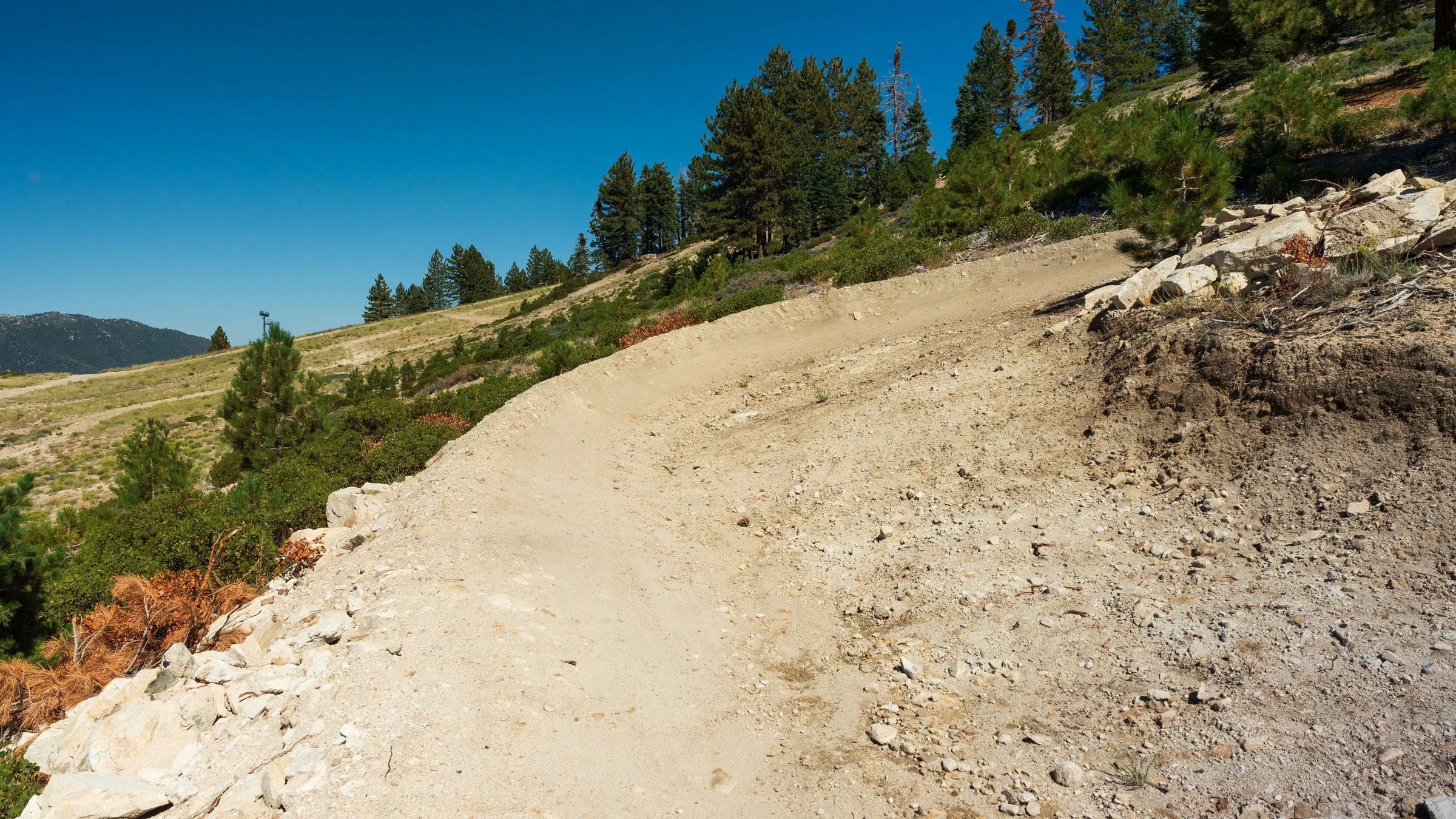 rich-text, responsive-table
Bandit Intermediate
rich-text, responsive-table
Bandit Intermediate
One of the most popular intermediate technical trails. Start with a series of snake turns then maintain your speed through three big berms. Just make sure to keep your eyes on the trail ahead and avoid overbraking while cornering. rich-text, responsive-tableaccordion, accordion-placeholderTrail Details & Statistics
Rating: Intermediate
Type: Singletrack
Tread Width: 3 ft
Tread Surface: Decomposed granite
Grade: -8.6% average, N/A% max
Natural Obstacles: Loose rocks and sand
Technical Features: Rocks throughout entire trail
Distance Descent Avg. Time Altitude Start Altitude End Altitude Change Grade 0.8 miles -386 ft 3 minutes 7,558 ft 7,170 ft -388 ft -9.40% 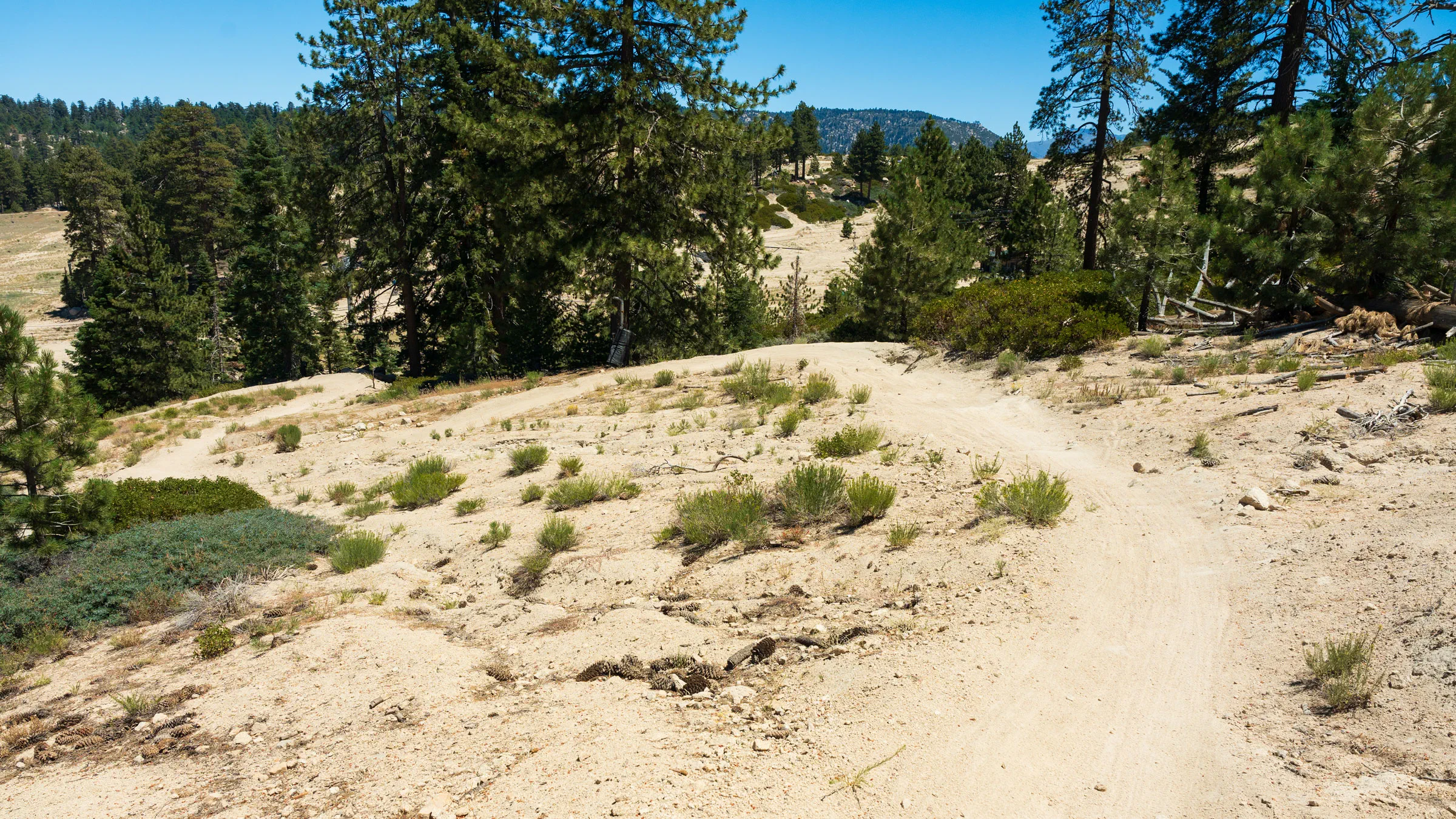 rich-text, responsive-table
Crazy Horse Intermediate
rich-text, responsive-table
Crazy Horse Intermediate
A technical intermediate line with plenty of optional features. The trail's downhill pitch allows riders to maintain speed and get a good flow. Be mindful of loose dirt and rocks toward the bottom through the tree section. rich-text, responsive-tableaccordion, accordion-placeholderTrail Details & Statistics
Rating: Intermediate
Type: Singletrack
Tread Width: 3-4 ft
Tread Surface: Decomposed granite
Grade: -8.9% average, N/A% max
Natural Obstacles: Loose rocks and sand
Technical Features: Rock drop, steep rocky section
Distance Descent Avg. Time Altitude Start Altitude End Altitude Change Grade 0.9 miles -430 ft 7 minutes 7,181 ft 6,740 ft -430 ft -8.80% 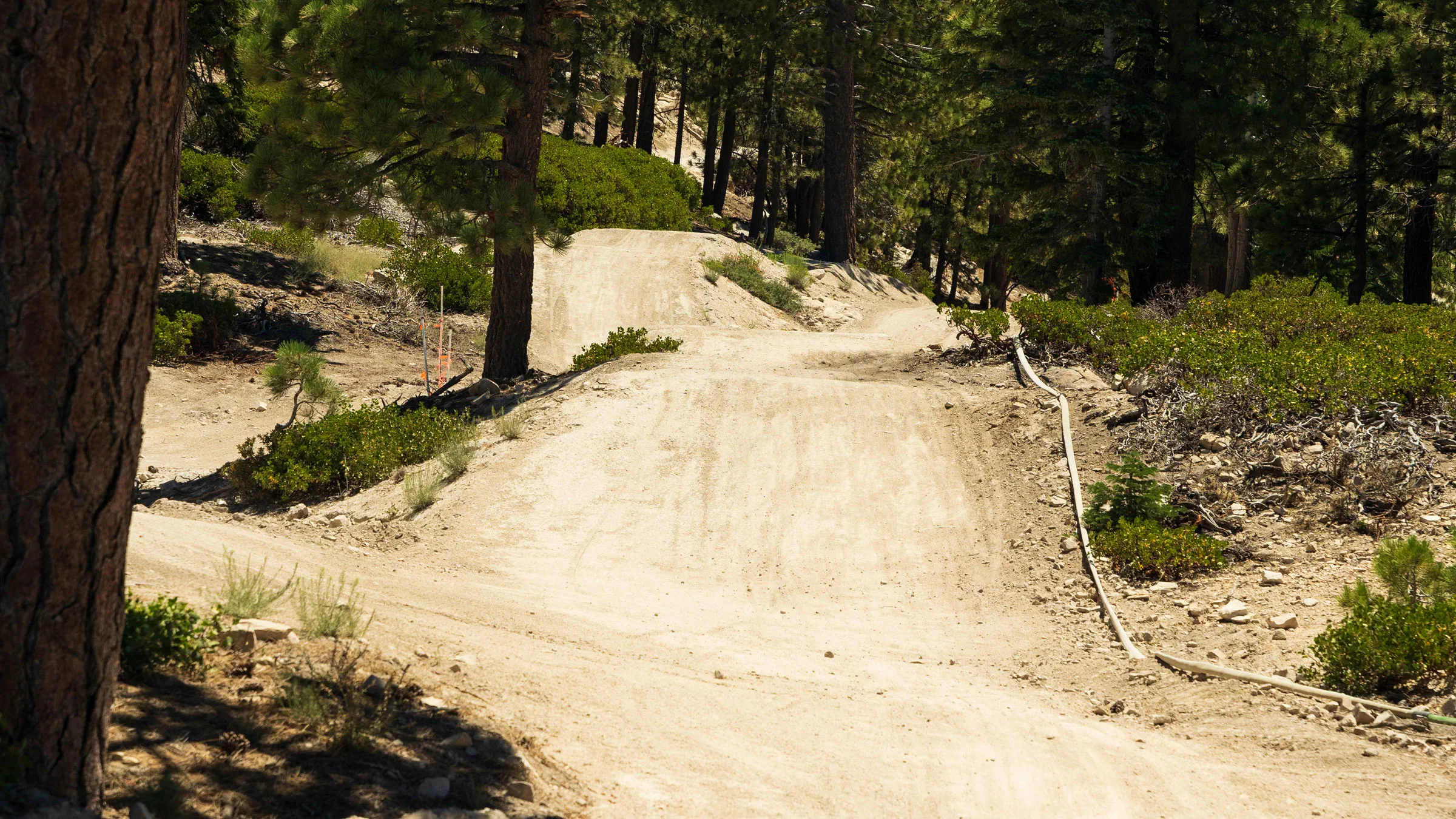 rich-text, responsive-table
Winchester Intermediate
rich-text, responsive-table
Winchester Intermediate
An approachable intermediate trail with longer flow sections and several optional jumps. Maintain your speed through the berms and be prepared for the optional rock features at the bottom of trail. rich-text, responsive-tableaccordion, accordion-placeholderTrail Details & Statistics
Rating: Intermediate
Type: Singletrack
Tread Width: 5-6 ft
Tread Surface: Decomposed granite
Grade: -9.4% average, N/A% max
Natural Obstacles: Loose rocks and sand
Technical Features: Rock jump that leads into 6 jumps and tabletops in a row
Distance Descent Avg. Time Altitude Start Altitude End Altitude Change Grade 0.8 miles -390 ft 2 minutes 7,561 ft 7,175 ft -390 ft -9.40% 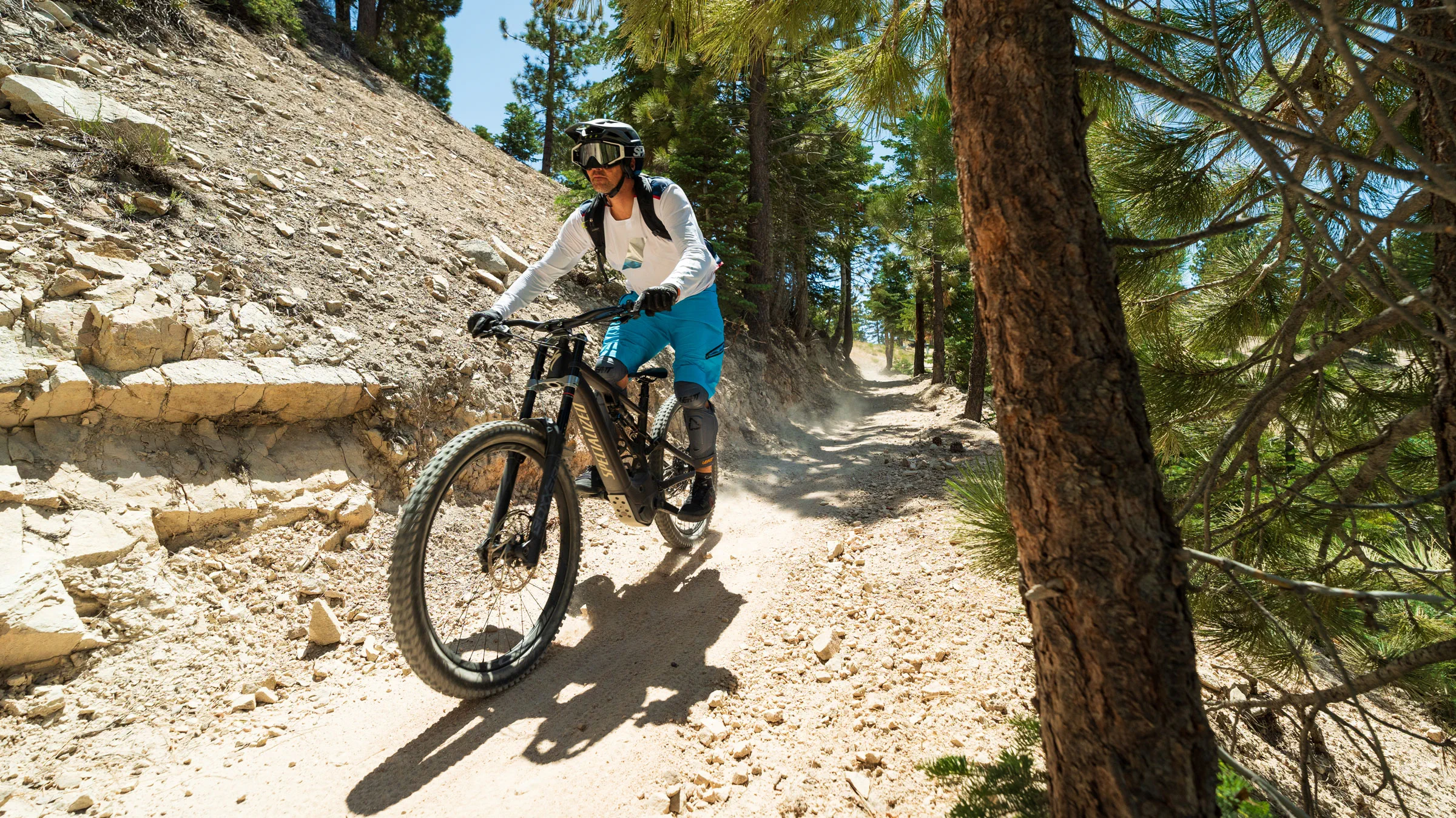 rich-text, responsive-table
Sundance Spur Intermediate
rich-text, responsive-table
Sundance Spur Intermediate
A quick detour off the beginner trail leads to a quick intermediate side line that curves back into Sundance before reaching the base area. rich-text, responsive-tableaccordion, accordion-placeholderTrail Details & Statistics
Rating: Intermediate
Type: Singletrack
Tread Width: 5 ft
Tread Surface: Decomposed granite
Grade: 8%
Natural Obstacles: Loose rocks and sand
Technical Features: Pedal path, flat
Distance Descent Avg. Time Altitude Start Altitude End Altitude Change Grade 0.5 miles -100 ft 30 seconds 6,828 ft 6,794 ft -34 ft -10.40% 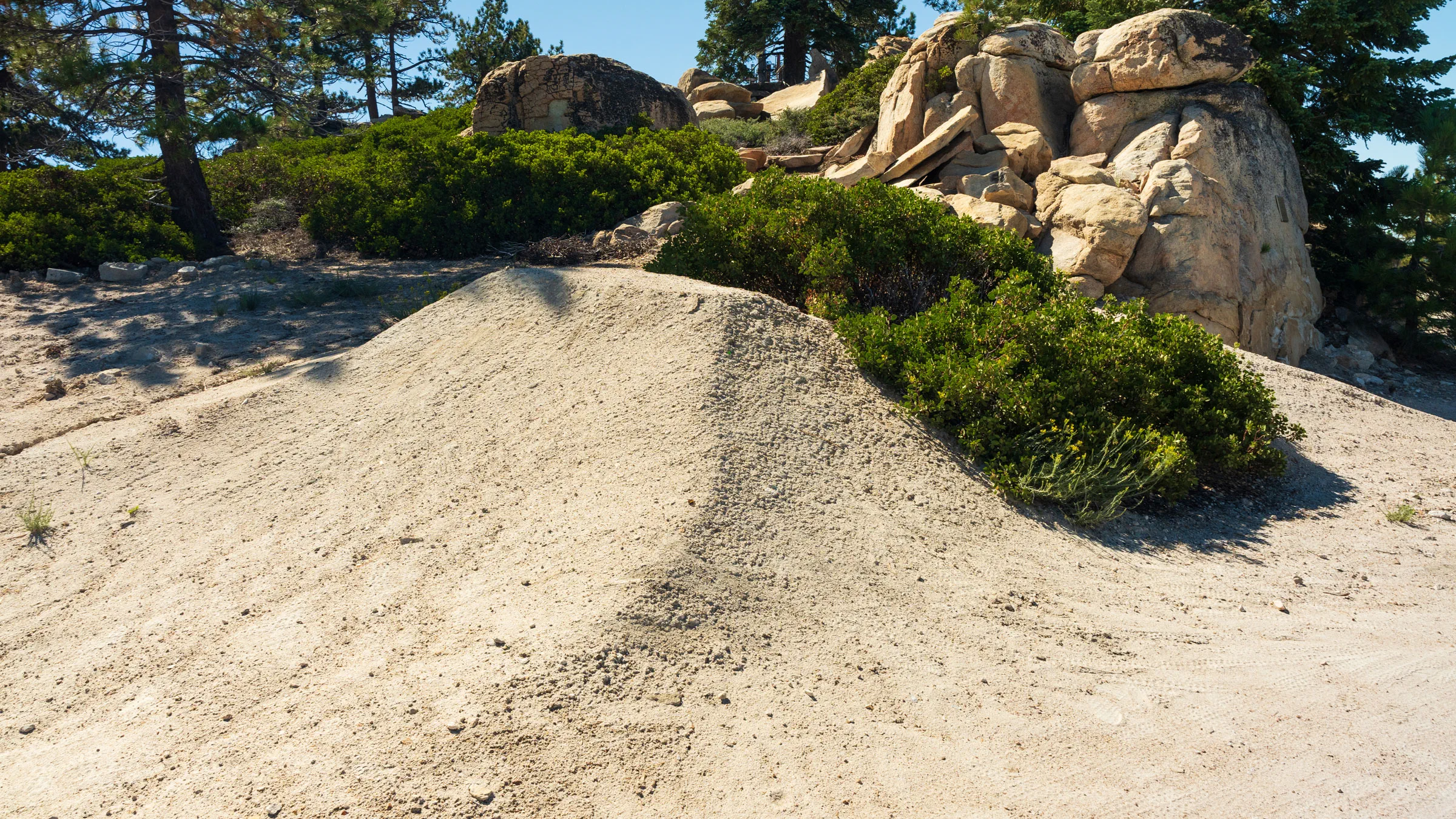 rich-text, responsive-table
Quick Draw Advanced
rich-text, responsive-table
Quick Draw Advanced
A tight and technical intended for advanced riders only. The trail has multiple advanced features, including a bush gap jump, platform drop off, and rock drop before arriving at the Mambo Corral rest spot. rich-text, responsive-tableaccordion, accordion-placeholderTrail Details & Statistics
Rating: Advanced
Type: Singletrack
Tread Width: 2 ft
Tread Surface: Decomposed granite
Grade: -11.8% average, N/A% max
Natural Obstacles: Loose rocks and sand
Technical Features: 1 pedestal drop, big rock drop on bottom
Distance Descent Avg. Time Altitude Start Altitude End Altitude Change Grade 0.4 miles -279 ft 2 minutes 7,476 ft 7,198 ft -279 ft -13.80% 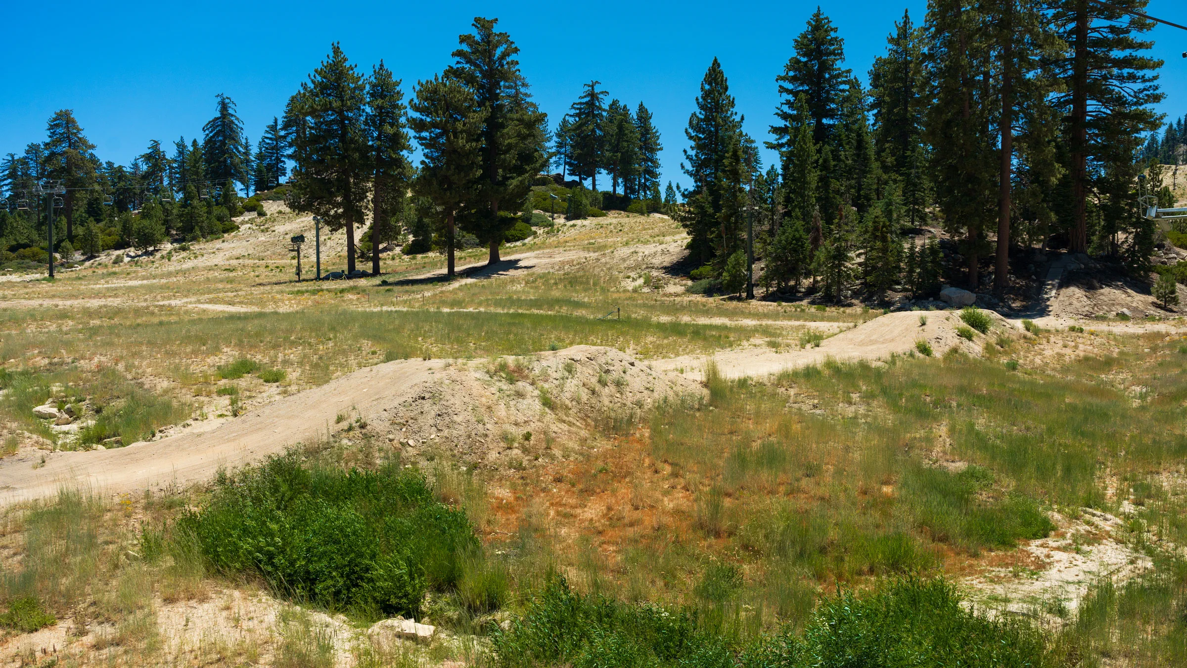 rich-text, responsive-table
Jumpline Advanced
rich-text, responsive-table
Jumpline Advanced
The perfect place to practice your speed control, takeoffs, and landings, with jumps for all abilities. Watch out for loose dirt as you approach rollers to larger jumps and wear proper protective equipment at all times. rich-text, responsive-tableaccordion, accordion-placeholderTrail Details & Statistics
Rating: Advanced
Type: Singletrack
Tread Width: 5-6 ft
Tread Surface: Decomposed granite
Grade: -7.8% average, N/A% max
Natural Obstacles: Loose rocks and sand
Technical Features: Entire trail has jumps from shark fins, rollers, step ups, tabletops, a ladder bridge drop up top to a power drop at bottom (propane tank metal drop)
Distance Descent Avg. Time Altitude Start Altitude End Altitude Change Grade 0.7 miles -636 ft 3 minutes 7,572 ft 6,932 ft -636 ft -15.60% 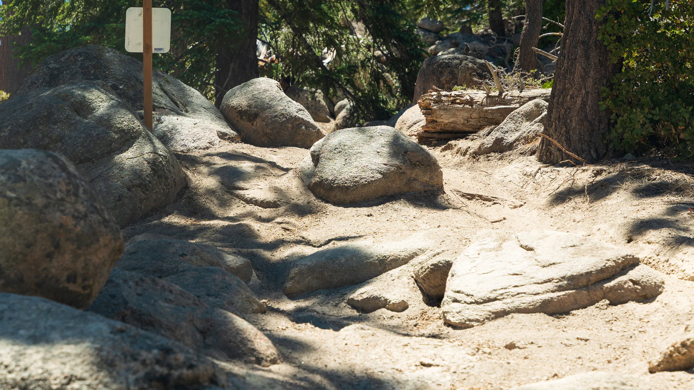 rich-text, responsive-table
Gun Smoke Expert
rich-text, responsive-table
Gun Smoke Expert
For advanced riders only. Maintain your speed and be cautious while turning through this tight rock roller trail with chunky terrain that's perfect for a fast and fun descent. rich-text, responsive-tableaccordion, accordion-placeholderTrail Details & Statistics
Rating: Expert
Type: Singletrack
Tread Width: 2 ft
Tread Surface: Decomposed granite
Grade: -17.4% average, N/A% max
Natural Obstacles: Loose rocks and sand
Technical Features: Rocky, loose, very technical
Distance Descent Avg. Time Altitude Start Altitude End Altitude Change Grade 0.1 miles -126 ft 2 minutes 7,013 ft 6,886 ft -126 ft -19.60% -
Miles of Cross-Country Trails
Riders can access miles of cross-country trails from Summit Bike Park, including several that directly intersect the park, which the Trail Crew maintains as part of the Big Bear Adopt-a-Trail (AAT) program.
IMPORTANT MESSAGE: These trails are not owned or operated by Big Bear Mountain Resort. For emergencies, call 911. Per National Forest Services, majority of the trails were burned over in the September 2022 Radford Fire. Potential hazards include falling trees and limbs, loose rocks and ash pits. Visit fs.usda.gov for more information. rich-text, responsive-table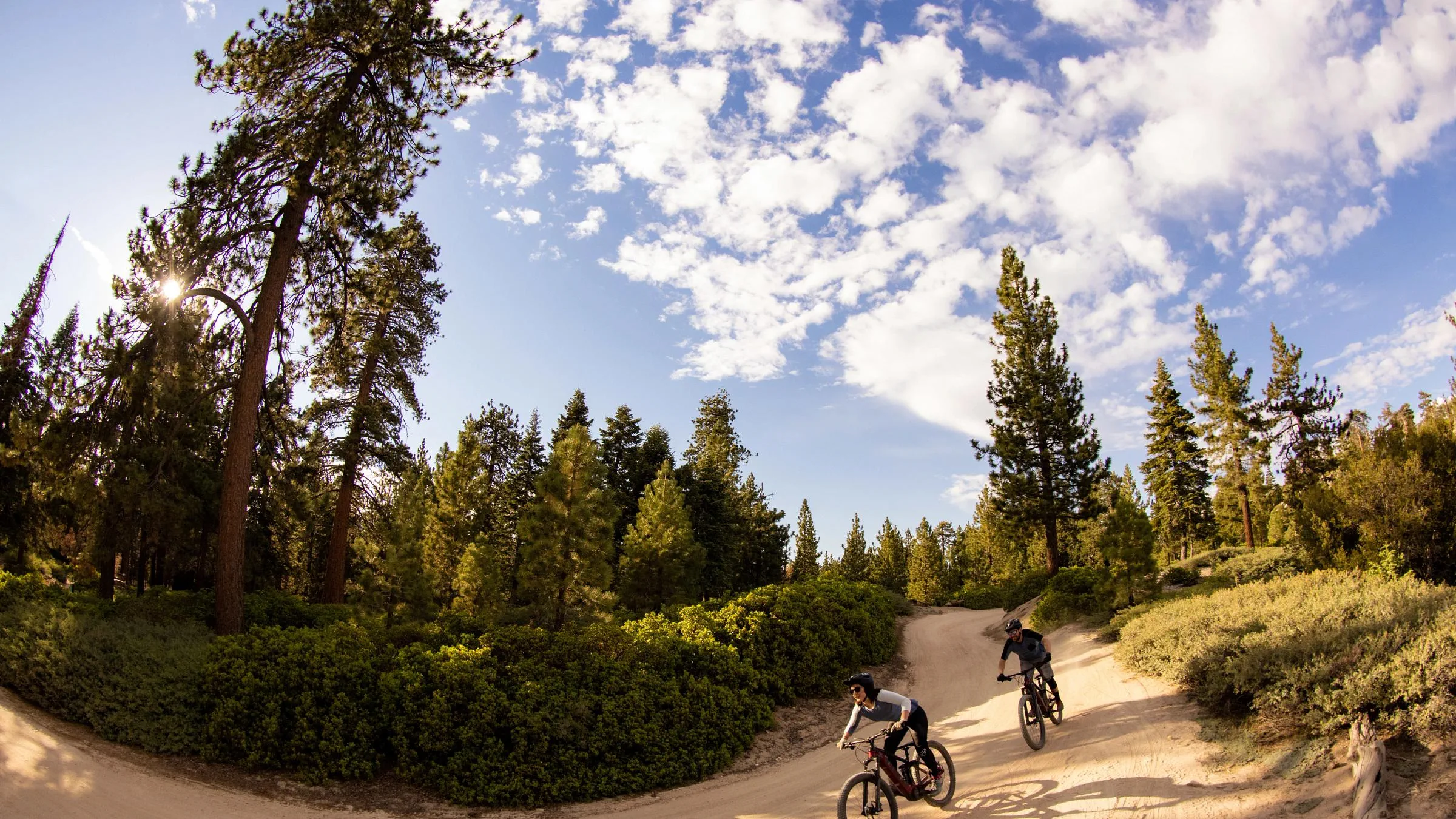 rich-text, responsive-table
Bristlecone Beginner
rich-text, responsive-table
Bristlecone Beginner
Follow for 2/3 miles then link up with the lower section of Fern Trail for a great 2-mile beginner loop of single track and double track. rich-text, responsive-tableaccordion, accordion-placeholderTrail Details & Statistics
Rating: Beginner
Type: Easy cross-country trail (bi-directional bike & hike); located outside Summit Bike Park boundaries
Tread Width: 36”
Tread Surface: Firm packed dirt with occasional rocks
Grade: 5% average, 10% max
Natural Obstacles: Loose & embedded rocks
Technical Features: Avoidable & unavoidable embedded rocks, loose dirt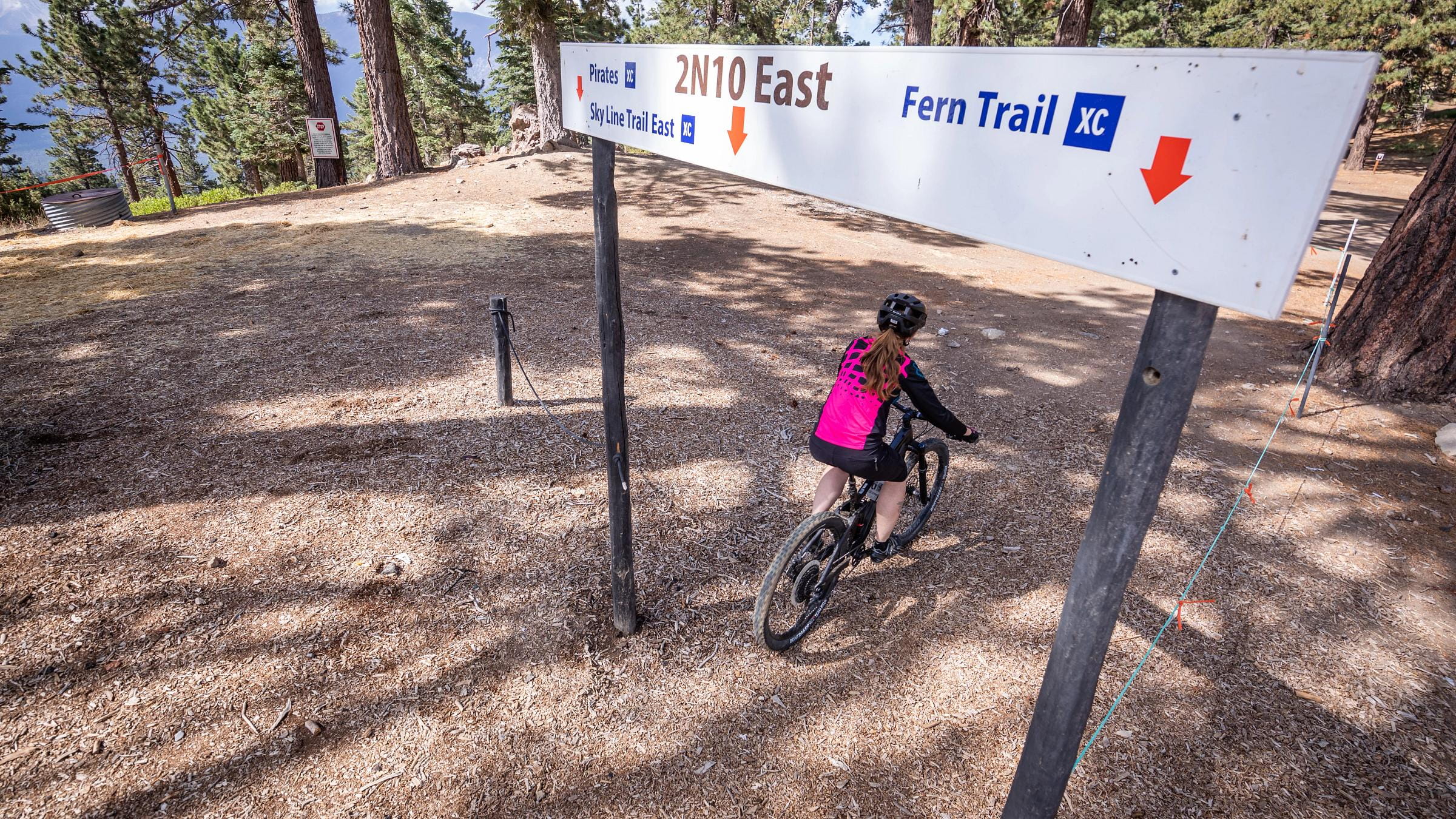 rich-text, responsive-table
Fern Trail Beginner
rich-text, responsive-table
Fern Trail Beginner
1.5 miles of fun downhill single track that links directly to Bristlecone Road to return to the Snow Summit base area. rich-text, responsive-tableaccordion, accordion-placeholderTrail Details & Statistics
Rating: Beginner
Type: Easy single track trail; located outside Summit Bike Park boundaries
Tread Width: 36”
Tread Surface: Firm packed dirt
Grade: 5% average, 10% max
Natural Obstacles: Loose & embedded rocks
Technical Features: Slow sweeping curves, avoidable & unavoidable embedded rocks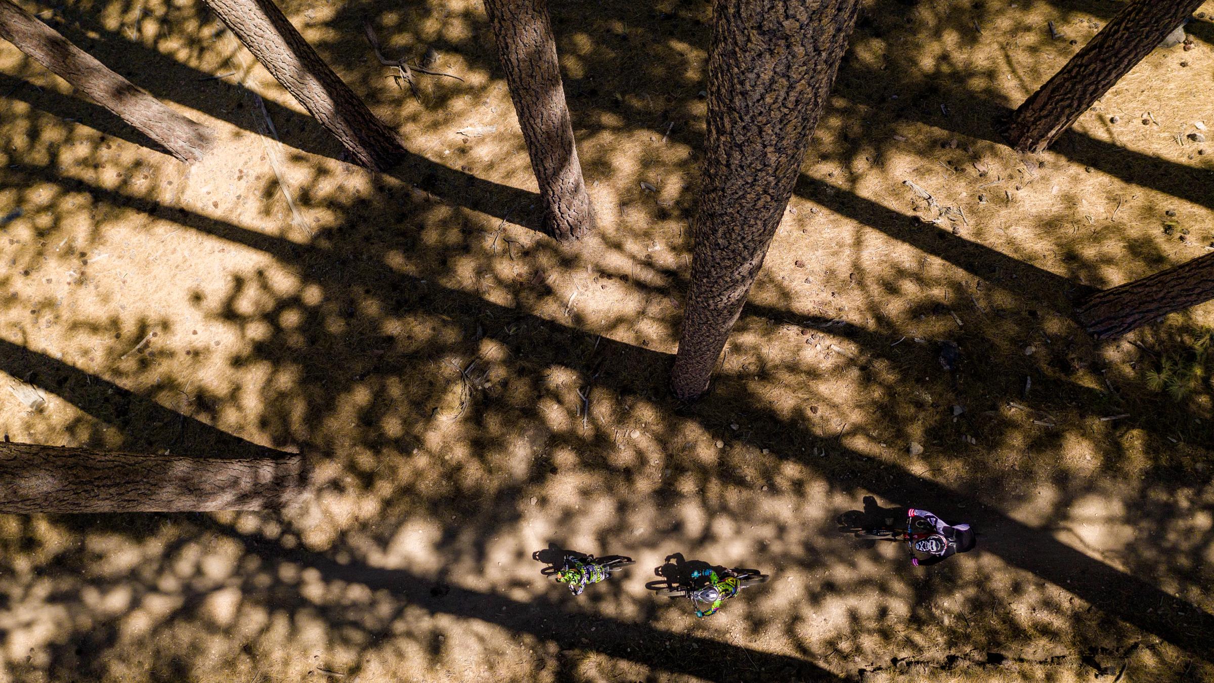 rich-text, responsive-table
Towne Trail Beginner
rich-text, responsive-table
Towne Trail Beginner
Head west from Slopeside Rentals to enjoy an easy 1.25-mile ride with great dirt, sweeping turns, and long straightaways. rich-text, responsive-tableaccordion, accordion-placeholderTrail Details & Statistics
Rating: Beginner
Type: Easy cross-country double track; located outside Summit Bike Park boundaries
Tread Width: 36”- 96”
Tread Surface: Firm packed dirt
Grade: 5% average, 15% max
Natural Obstacles: Avoidable loose & embedded rocks
Technical Features: Small creek crossing, loose rock, other natural features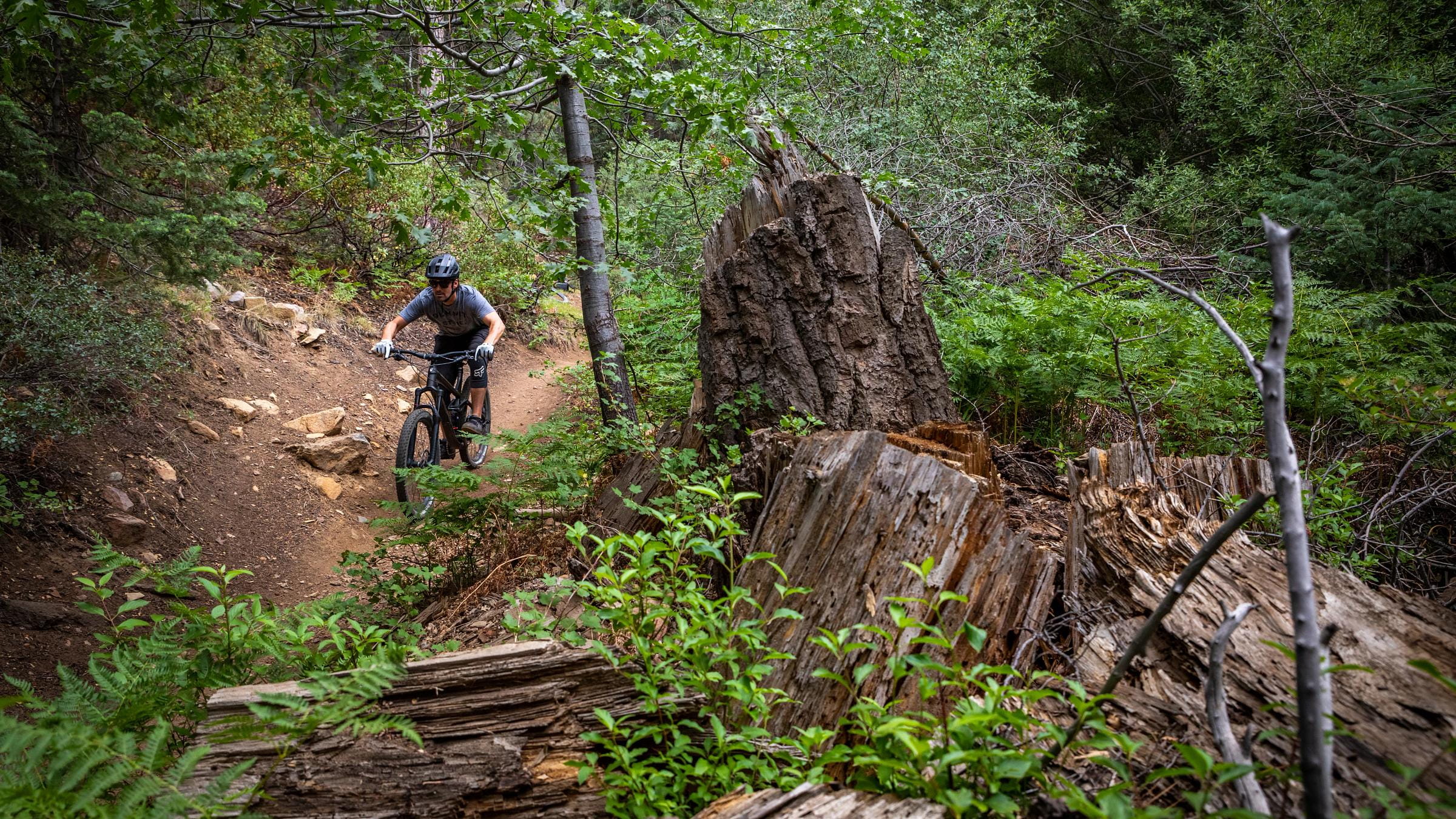 rich-text, responsive-table
Fall Line Intermediate
rich-text, responsive-table
Fall Line Intermediate
A great downhill XC trail that rivals old school classic downhill trails. Hook up with Fern Trail to return to the base area.
Per National Forest Services, a portion of the trail was burned over in the September 2022 Radford Fire. Potential hazards include falling trees and limbs, loose rocks and ash pits. This trail is closed until further notice due to the trail being damaged or blocked with debris. Visit fs.usda.gov for more information. rich-text, responsive-tableaccordion, accordion-placeholderTrail Details & Statistics
Rating: Intermediate
Type: Moderate level downhill trail with flow; located outside Summit Bike Park boundaries
Tread Width: 24”-36”
Tread Surface: Firm packed dirt with occasional rocks
Grade: 9% average, 50% max
Natural Obstacles: Avoidable & unavoidable embedded rocks
Technical Features: Sweeping corners, avoidable & unavoidable obstacles (15” & under height), loose rocks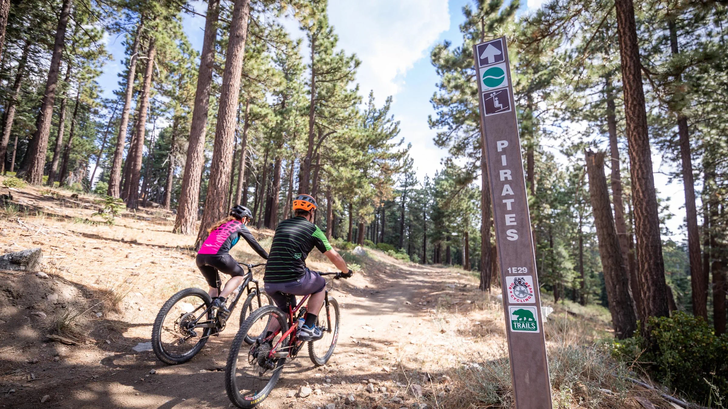 rich-text, responsive-table
Pirates Intermediate
rich-text, responsive-table
Pirates Intermediate
Batten down the hatches and enjoy a classic cross-country trail that intersections multiple trail opportunities. Ready for something more challenging? Check out Skyline East to Fern Trail and bring it home on Bristlecone.
Per National Forest Services, a portion of the trail was burned over in the September 2022 Radford Fire. Potential hazards include falling trees and limbs, loose rocks and ash pits. This trail is closed until further notice due to the trail being damaged or blocked with debris. Visit fs.usda.gov for more information. rich-text, responsive-tableaccordion, accordion-placeholderTrail Details & Statistics
Rating: Intermediate
Type: Easy single track trail (bi-directional bike & hike); located outside Summit Bike Park boundaries
Tread Width: 24”-36”
Tread Surface: Firm packed dirt with occasional rocks
Grade: 5% average, 10% max
Natural Obstacles: Embedded rocks & natural obstacles
Technical Features: Slow sweeping curves, avoidable & unavoidable embedded rocks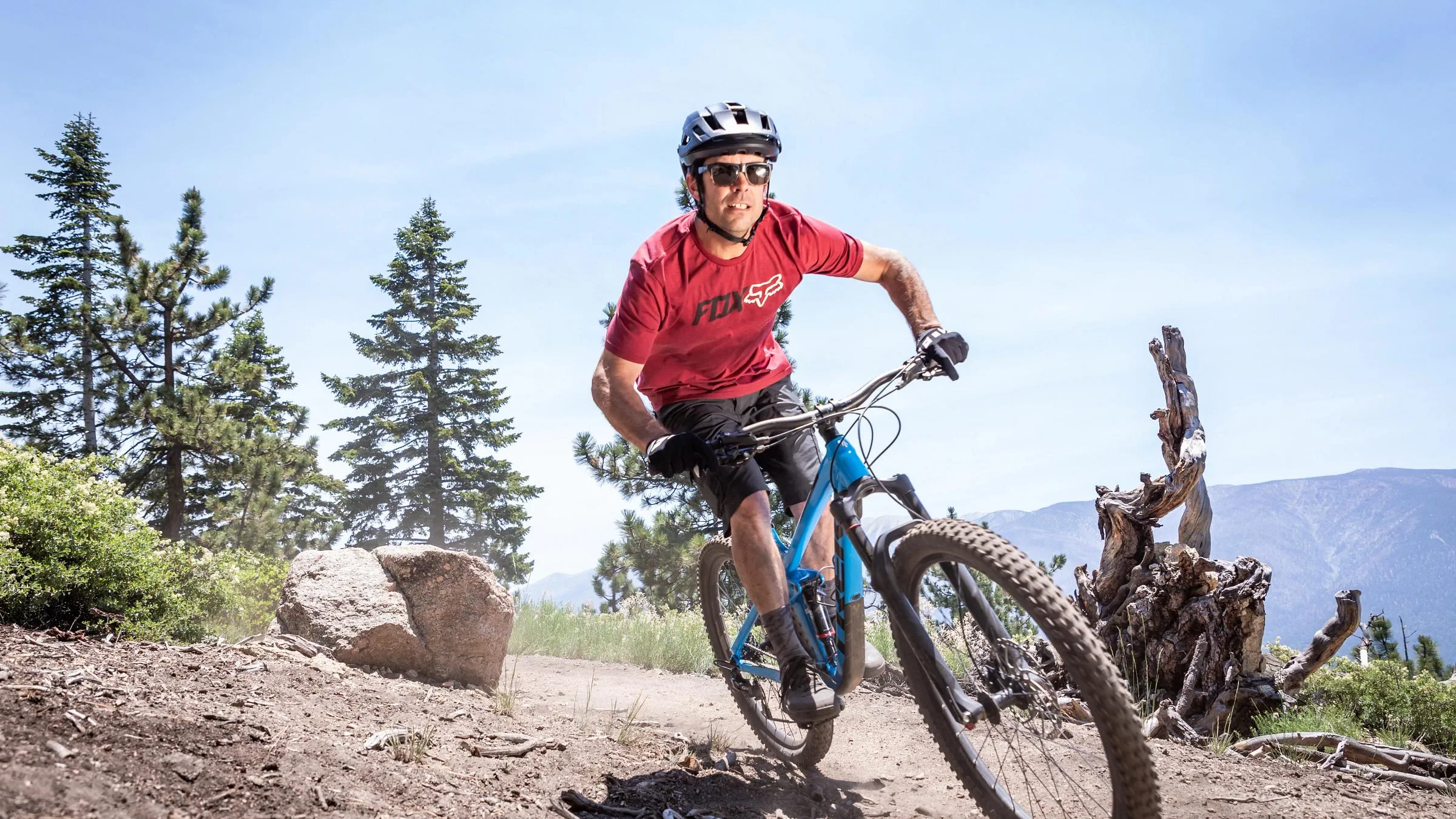 rich-text, responsive-table
Skyline Intermediate
rich-text, responsive-table
Skyline Intermediate
Enjoy a challenging mix of incline and decline during an eastbound trek through the trees and creeks before arriving near the Bear Mountain base area.
Per National Forest Services, a portion of the trail was burned over in the September 2022 Radford Fire. Potential hazards include falling trees and limbs, loose rocks and ash pits. This trail is closed until further notice due to the trail being damaged or blocked with debris. Visit fs.usda.gov for more information. rich-text, responsive-tableaccordion, accordion-placeholderTrail Details & Statistics
Rating: Intermediate
Type: Moderate cross-country trail with flow (bi-directional bike & hike); located outside Summit Bike Park boundaries
Tread Width: 24”-36”
Tread Surface: Firm packed dirt with occasional rocks
Grade: 10% average, 100% max
Natural Obstacles: Avoidable & unavoidable embedded rocks, some roots
Technical Features: Sweeping corners, avoidable & unavoidable obstacles (15” & under height), loose rocks, approx. 400' vertical climbGet Involved
The U.S. Forest Service manages most of the trails in the San Bernardino National Forest, but its budget doesn’t account for all of the trail work needed annually. Without regular maintenance, trails may fall into disrepair and become unusable, and potentially harmful, to the natural environment. To assist the Forest Service's trail maintenance efforts, the San Bernardino National Forest, City of Big Bear Lake, San Bernardino County, Big Bear Mountain Resort, Southern California Mountains Foundation, and Big Bear Valley Trails Foundation have united to form the Trails Advisory Group, which is dedicated to improving non-motorized trails across Big Bear.
rich-text, responsive-table
Your Trail Starts Here
Ride over 60 miles of cross-country trails in Big Bear Lake.
Close Videovideo-ctaYour Trail Starts Here
Ride over 60 miles of cross-country trails in Big Bear Lake.
-
Important Details
Ebike Restrictions: Class 1 pedal-assist electric mountain bikes (Ebike) are only permitted on the following trails at Snow Valley or Summit Bike Park. Ebikes are not allowed on any non-motorized USFS trails in the valley, but are permitted on all roads and trails that are open to motor vehicles. All bikes will be inspected prior to loading on chairlifts. Class 2 and 3 Ebike are not permitted on Big Bear Mountain Resort lifts or trails.

Lift & Trails
Lifts & TrailsPermitted Ebike Access Chair 1
Bandit
Crazy Horse
Gun Smoke
Jumpline
Lower Green Horn
Upper Green Horn
Quick Draw
Sundance
Sundance Spur
WinchesterChair 1 & 2
Average Joe's
Blue Steel
Dual Slalom
Miracle Mile
Party Wave
Small Wonder
Turtle Trail
Westridge
10-plyProhibited Ebike Access Chair 4
Bristlecone
Pirates
Going Green
Fall Line
Fern Trail
Skyline
Towne Trail
NOTE: Ebikes are bicycles equipped with a battery-powered “assist” that can be engaged while pedaling. When pedalling an ebike, the electric battery kicks in and provides additional pedaling power. Ebikes are a great option for beginners, riders with physical limitations, or anyone looking for a boost while riding from uphill ascents to all-day expeditions. rich-text, responsive-table

Get Started
rich-text, responsive-table


 rich-text, responsive-table
Shop Popular Mountain Biking Souvenirs
rich-text, responsive-table
 rich-text, responsive-table
 rich-text, responsive-table
 rich-text, responsive-table

Gift Cards
Thinking of giving lift tickets or BBMR branded clothing as a gift? Purchase a gift card instead and allow them to choose what they like.